Achampet, Mahbubnagar district
| Achampet అచ్చంపేట్ | |
|---|---|
| Census Town | |
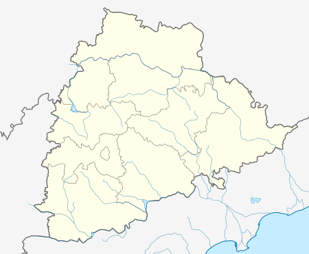 Achampet  Achampet Location in Telangana, India | |
| Coordinates: 16°23′56″N 78°38′13″E / 16.3990°N 78.6370°ECoordinates: 16°23′56″N 78°38′13″E / 16.3990°N 78.6370°E | |
| Country | India |
| State | Telangana |
| District | Nagarkurnool |
| Elevation | 78.73 m (258.30 ft) |
| Population (2011)[1] | |
| • Total | 20,721 |
| Languages | |
| • Official | Telugu |
| Time zone | IST (UTC+5:30) |
| PIN | 509375 |
| Telephone code | 08541 |
| ISO 3166 code | IN-TG |
| Vehicle registration | TS |
| Nearest airport | Hyderabad |
| Lok Sabha constituency | Nagarkurnool |
| Vidhan Sabha constituency | Achampet |
| Website |
telangana |
Achampet is a census town in Nagarkurnool district of Telangana, India. The town is a revenue division headquarters. Achampet is a town which is located on foothills of Nallamala Forest, and has population of more than 20,721.
History
This area for many years was under the rule of Perika Zamindars Puragiri Kshatriyas for so many years. Then Nizam and after independence the area remained undeveloped for few years...and developed since 2005.
Encryption say that in past, once there lived a lady ruler Achammamba from Kollapur Village came to deep forest there she fought against Mailk kaffur, General of Aurangazeb (Delhi sultan) in a Tribal war and on the village was named after her as AchammaGadda..then started saying Achammapeta and now present naming as Achampet..It is near to srisailam and 10 minutes journey from Uma maheshwaram a beautiful water fall hilly village tourism place.
Education
- S.A.V. Gupta High School
References
- ↑ "Census 2011". The Registrar General & Census Commissioner, India. Retrieved 26 July 2014.