Ad-Damazin
| Ad-Damazin | |
|---|---|
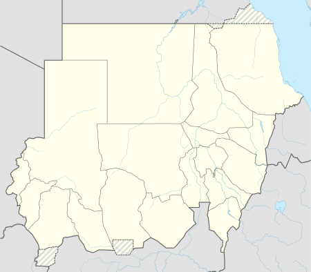 Ad-Damazin Location in Sudan | |
| Coordinates: 11°46′N 34°21′E / 11.767°N 34.350°E | |
| Country |
|
| State | Blue Nile |
| Population (2006) | |
| • Total | 212,712 |
Ad Damazin (Arabic: الدمازين Ad Damazīn) is the capital of Blue Nile State in Sudan. It is the location of the Roseires Dam and power generation plant.
Ad Damazin is served by a terminal station of a branch line of the national railway network. However, the train service to Ad Damazin has been discontinued many years ago. Instead the town can be reached from Khartoum via a decent tarmac road and by plane. However, Ad Damazin Airport is mainly served by UNMIS or government flights.
Ad-Damazin is currently the Capital of Blue Nile State, with Al-Hadi Bushra as the current Governor. Malik Agar Eyre was the SPLM/A chairman for the State of Blue Nile until September 2, 2011. He was ousted by president Bashir, and replaced by General Yahia Mohammed Kheir, after fights broke out between the Sudanese Army Forces and the SPLM-N of former governor Malik Agar.
Blue Nile University (Jameat Al Neel Alazraq) is a public university located in Ad Damazin, established in 1995.[1]
Climate
| Climate data for Ad-Damazin (1961–1990) | |||||||||||||
|---|---|---|---|---|---|---|---|---|---|---|---|---|---|
| Month | Jan | Feb | Mar | Apr | May | Jun | Jul | Aug | Sep | Oct | Nov | Dec | Year |
| Record high °C (°F) | 41.1 (106) |
44.3 (111.7) |
44.5 (112.1) |
45.5 (113.9) |
47.0 (116.6) |
42.0 (107.6) |
39.0 (102.2) |
37.0 (98.6) |
38.1 (100.6) |
40.0 (104) |
41.0 (105.8) |
41.5 (106.7) |
47.0 (116.6) |
| Average high °C (°F) | 35.2 (95.4) |
37.1 (98.8) |
39.5 (103.1) |
40.5 (104.9) |
38.5 (101.3) |
35.2 (95.4) |
31.8 (89.2) |
31.1 (88) |
32.5 (90.5) |
35.2 (95.4) |
36.9 (98.4) |
35.7 (96.3) |
35.8 (96.4) |
| Daily mean °C (°F) | 26.0 (78.8) |
27.7 (81.9) |
30.7 (87.3) |
32.2 (90) |
31.7 (89.1) |
29.1 (84.4) |
26.7 (80.1) |
26.1 (79) |
26.7 (80.1) |
28.2 (82.8) |
27.9 (82.2) |
26.3 (79.3) |
28.3 (82.9) |
| Average low °C (°F) | 16.8 (62.2) |
18.4 (65.1) |
21.9 (71.4) |
23.9 (75) |
24.8 (76.6) |
22.9 (73.2) |
21.5 (70.7) |
21.2 (70.2) |
21.0 (69.8) |
21.2 (70.2) |
19.0 (66.2) |
17.0 (62.6) |
20.8 (69.4) |
| Record low °C (°F) | 8.5 (47.3) |
10.4 (50.7) |
13.4 (56.1) |
16.3 (61.3) |
18.0 (64.4) |
17.5 (63.5) |
15.9 (60.6) |
17.5 (63.5) |
17.5 (63.5) |
14.3 (57.7) |
12.0 (53.6) |
8.7 (47.7) |
8.5 (47.3) |
| Average precipitation mm (inches) | 0.0 (0) |
0.1 (0.004) |
2.8 (0.11) |
12.9 (0.508) |
40.2 (1.583) |
114.4 (4.504) |
189.2 (7.449) |
171.8 (6.764) |
133.6 (5.26) |
45.7 (1.799) |
2.1 (0.083) |
0.1 (0.004) |
712.9 (28.067) |
| Average precipitation days (≥ 0.1 mm) | 0.0 | 0.1 | 0.3 | 1.4 | 6.0 | 12.3 | 16.1 | 16.9 | 12.4 | 4.7 | 0.5 | 0.0 | 70.7 |
| Average relative humidity (%) | 29 | 23 | 21 | 24 | 43 | 59 | 72 | 79 | 76 | 67 | 38 | 32 | 46.9 |
| Mean monthly sunshine hours | 303.8 | 280.0 | 294.5 | 288.0 | 257.3 | 201.0 | 170.5 | 182.9 | 204.0 | 251.1 | 279.0 | 294.5 | 3,006.6 |
| Percent possible sunshine | 85 | 85 | 79 | 78 | 66 | 53 | 44 | 45 | 56 | 68 | 83 | 83 | 69 |
| Source: NOAA[2] | |||||||||||||
See also
References
- ↑ "Blue Nile University". African Studies Center. Retrieved 2011-09-17.
- ↑ "Damazin Climate Normals 1961–1990". National Oceanic and Atmospheric Administration. Retrieved January 17, 2016.
Coordinates: 11°46′00″N 34°21′00″E / 11.76667°N 34.35000°E