Alférez Armando Rodríguez Airport
| Alférez Armando Rodríguez Airport Aeropuerto Alférez Armando Rodríguez | |||||||||||
|---|---|---|---|---|---|---|---|---|---|---|---|
| IATA: LLS – ICAO: SATK | |||||||||||
| Summary | |||||||||||
| Airport type | Public | ||||||||||
| Serves | Las Lomitas | ||||||||||
| Location | Argentina | ||||||||||
| Elevation AMSL | 427 ft / 130 m | ||||||||||
| Coordinates | 24°43′15.8″S 060°32′56.6″W / 24.721056°S 60.549056°WCoordinates: 24°43′15.8″S 060°32′56.6″W / 24.721056°S 60.549056°W | ||||||||||
| Map | |||||||||||
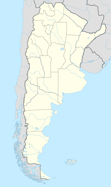 SATK Location of Alférez Armando Rodríguez Airport in Argentina | |||||||||||
| Runways | |||||||||||
| |||||||||||
Alférez Armando Rodríguez Airport (Spanish: Aeropuerto Alférez Armando Rodríguez, IATA: LLS, ICAO: SATK) is a public use airport located 6 kilometres (4 mi) east-southeast of Las Lomitas, Formosa, Argentina.
See also
References
- ↑ Airport record for Alférez Armando Rodríguez Airport at Landings.com. Retrieved 2 September 2013
- ↑ Google (2 September 2013). "location of Alférez Armando Rodríguez Airport" (Map). Google Maps. Google. Retrieved 2 September 2013.
External links
- Airport record for Alférez Armando Rodríguez Airport at Landings.com
This article is issued from Wikipedia - version of the 11/8/2016. The text is available under the Creative Commons Attribution/Share Alike but additional terms may apply for the media files.