Amapá National Forest
| Amapá National Forest | |
|---|---|
| Floresta Nacional do Amapá | |
|
IUCN category VI (protected area with sustainable use of natural resources) | |
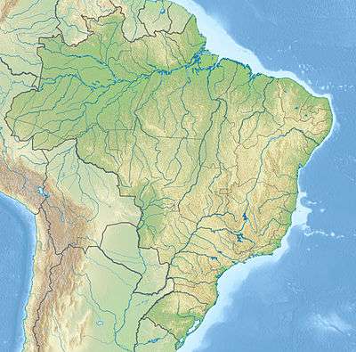 | |
| Coordinates | 1°20′18″N 51°40′36″W / 1.338264°N 51.676673°WCoordinates: 1°20′18″N 51°40′36″W / 1.338264°N 51.676673°W |
| Area | 460,352.61 hectares (1,137,556.1 acres) |
| Designation | National forest |
| Created | 10 April 1989 |
| Administrator | Chico Mendes Institute for Biodiversity Conservation |
The Amapá National Forest (Portuguese: Floresta Nacional do Amapá) is a national forest in the state of Amapá, Brazil.
Location
The Amapá National Forest is divided between the municipalities of Pracuúba (52.85%), Ferreira Gomes (44.07%) and Amapá (3.08%) in the state of Amapá.[1] It has an area of 460,352.61 hectares (1,137,556.1 acres).[2]
The forest is bounded to the north by the small Mutum River, to the east by the Falsino River, to the west by the Araguari River, and to the south by the confluence of the Falsino and Araguari. In the extreme north there are chains of mountains of significant height, thought to belong to the Tumucumaque cmplex.[3] To the east it adjoins the 2,369,400 hectares (5,855,000 acres) Amapá State Forest, a sustainable use environmental unit created in 2006.[4] To the northwest it adjoins the Montanhas do Tumucumaque National Park.[5]
Environment
The Amapá National Forest is in the Amazon rainforest biome.[2] It contains a large area of humid tropical forest, mostly terra firma. It is accessible only by one viable waterway, the Araguari, from the municipality of Porto Grande. Vegetation includes imposing Amazon species such as Dinizia excelsa, Manilkara huberi, Vouacapoua americana and Caryocar villosum. Common palms are Euterpe oleracea (açaí) and Iriartea exorrhiza.[3]
History
The Amapá National Forest was created by presidential decree 97.630 of 10 April 1989. It is administered by Chico Mendes Institute for Biodiversity Conservation.[2] It is classed as IUCN protected area category VI (protected area with sustainable use of natural resources). The objective is to support sustainable multiple use of forest resources and scientific research, with emphasis on methods for sustainable exploitation of native forests.[6] It is part of the Amapá Biodiversity Corridor, created in 2003.[7] The advisory council was established by ordnance 100 on 12 December 2008. The management plan was approved on 9 January 2014.[8]
Notes
- ↑ FLONA do Amapá – ISA, Informações gerais.
- 1 2 3 Flona do Amapá – Chico Mendes.
- 1 2 FLONA do Amapá – ISA, Características.
- ↑ FES do Amapá – ISA.
- ↑ FLONA do Amapá – ISA, Informações gerais: mapa.
- ↑ Unidade de Conservação ... MMA.
- ↑ Corredor de Biodiversidade do Amapá Biodiversity Corridor, p. 43.
- ↑ FLONA do Amapá – ISA, Historico Juridico.
Sources
- Corredor de Biodiversidade do Amapá Biodiversity Corridor (PDF), Belém: CI-Brasil, Governo do Amapá, Fundação Lee & Gund, 2007, retrieved 2016-11-05
- FES do Amapá (in Portuguese), ISA: Instituto Socioambiental, retrieved 2016-07-06
- Flona do Amapá (in Portuguese), Chico Mendes Institute for Biodiversity Conservation, retrieved 2016-07-06
- FLONA do Amapá (in Portuguese), ISA: Instituto Socioambiental, retrieved 2016-07-06
- Unidade de Conservação: Floresta Nacional de Amapá (in Portuguese), MMA: Ministério do Meio Ambiente, retrieved 2016-07-06