Anklav
| Anklav | |
|---|---|
| city | |
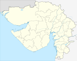 Anklav  Anklav Location in Gujarat, India | |
| Coordinates: 22°23′29″N 72°59′40″E / 22.39127°N 72.99455°ECoordinates: 22°23′29″N 72°59′40″E / 22.39127°N 72.99455°E | |
| Country |
|
| State | Gujarat |
| District | Anand |
| Population (2001) | |
| • Total | 19,805 |
| Languages | |
| • Official | Gujarati, Hindi |
| Time zone | IST (UTC+5:30) |
| PIN | 388510 |
| Vehicle registration | GJ |
| Website |
gujaratindia |
Anklav is a city and a municipality in Anand district in the state of Gujarat, India.
Demographics
As of 2001 India census,[1] Anklav had a population of 19,805. Males constitute 53% of the population and females 47%. Anklav has an average literacy rate of 62%, higher than the national average of 59.5%; with 60% of the males and 40% of females literate. 14% of the population is under 6 years of age.
Other information
Anklav is situated on Vadodara–Kathana broad gauge railway line. It is a taluka place having Taluka Govt. Offices like Taluka Panchayat, Mamlatdar Office, Taluka Health Office. Community Health center is running 24 hours to provide Primary & Emergency Health services. Anklav Town is mainly divided in 2 major parts, 1. Compact Town area (60% population) & 2. peripheral field area (40% Population). Compact town area is divided in streets like Bhatwada, Undi khadki, Shakkar das ni khadaki, Moti khadaki, Vanto, Valasaniya Khadki, Ambalipura, Brahmpol & many more.
References
- ↑ "Census of India 2001: Data from the 2001 Census, including cities, villages and towns (Provisional)". Census Commission of India. Archived from the original on 2004-06-16. Retrieved 2008-11-01.