Austin Historic District (Austin, Nevada)
|
Austin Historic District | |
 | |
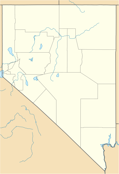  | |
| Location | In Pony Canyon at jct. of U.S. 50 and NV 8A, Austin, Nevada |
|---|---|
| Coordinates | 39°29′37″N 117°04′15″W / 39.49361°N 117.07083°WCoordinates: 39°29′37″N 117°04′15″W / 39.49361°N 117.07083°W |
| Area | 748 acres (303 ha) |
| Built | 1862 |
| NRHP Reference # | 71000489[1] |
| Added to NRHP | November 23, 1971 |
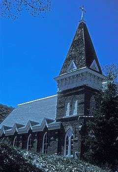
The Austin Historic District in Austin, Nevada is a 748-acre (303 ha) historic district that was listed on the U.S. National Register of Historic Places in 1971. It is located in Pony Canyon at the junction of State Route 8A and U.S. Route 50, and has significance dating from 1862 when silver ore was discovered in the canyon. By the next year, Austin had population 2,000, and it became a city in 1864.[2]
The district includes the Austin City Hall, which is separately NRHP-listed, and 12 other contributing buildings. It was listed on the National Register in 1971.[1][2]
References
- 1 2 National Park Service (2010-07-09). "National Register Information System". National Register of Historic Places. National Park Service.
- 1 2 Albert Neu (October 14, 1970). "National Register of Historic Places Inventory/Nomination:" (PDF). National Park Service. and accompanying eight photos from 1971
This article is issued from Wikipedia - version of the 11/30/2016. The text is available under the Creative Commons Attribution/Share Alike but additional terms may apply for the media files.