Back Bay, New Brunswick
| Back Bay | |
|---|---|
| Unincorporated community | |
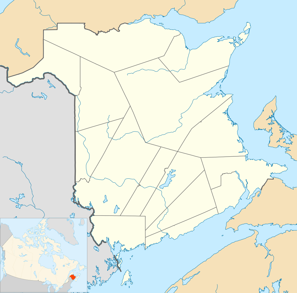 Back Bay Location within New Brunswick. | |
| Coordinates: 45°03′22″N 66°52′11″W / 45.05611°N 66.86972°WCoordinates: 45°03′22″N 66°52′11″W / 45.05611°N 66.86972°W | |
| Country |
|
| Province |
|
| County | Charlotte |
| Parish | Saint George |
| Electoral Districts Federal |
New Brunswick Southwest |
| Provincial | Charlotte-The Isles |
| Government | |
| • Type | Local service district |
| Time zone | AST (UTC-4) |
| • Summer (DST) | ADT (UTC-3) |
| Postal code(s) | E5C |
| Area code(s) | 506 |
| Highways |
|
Back Bay is a settlement in New Brunswick. Back Bay is on the East Shore of the Back Bay in the Bay of Fundy.[1]
The only way in or out of Back Bay by land is via Route 172.
History
According to the New Brunswick Provincial Archives, in 1866 Back Bay was a fishing and farming community. Its population is listed at that time as being approximately 30 resident families. The population had grown in 1871 to approximately 200 people. And in 1898 Back Bay was a port of entry with 1 post office, 2 stores, 2 churches and a population of 300.
Notable people
Local Folklore
People from the area are known as Back Bay rock throwers. Though the nickname may have negative connotations, it is also linked with athletic prowess. Local legend states that a feud between the village and Eastport, Maine, USA resulted in a fight where stones were thrown between the two places. Those thrown from Back Bay, sailed the distance of the Bay of Fundy and landed in Eastport, while the stones hurled from Eastport, landed in the bay. The resulting rock pile was Deer Island, New Brunswick.
See also
References
 |
L'Etang | | ||
| L'Etete | |
Back Bay | ||
| ||||
| | ||||
| Back Bay |
| Subdivisions | |
|---|---|
| Cities | |
| |