Badami Bagh
| Badami Bagh | |
|---|---|
| city | |
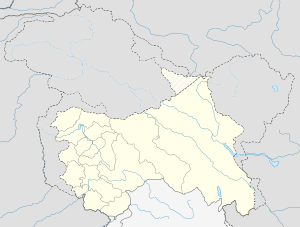
 Badami Bagh  Badami Bagh Location in Jammu and Kashmir, India | |
| Coordinates: 34°04′N 74°51′E / 34.07°N 74.85°ECoordinates: 34°04′N 74°51′E / 34.07°N 74.85°E | |
| Country |
|
| State | Jammu and Kashmir |
| District | Srinagar |
| Elevation | 1,727 m (5,666 ft) |
| Population (2001) | |
| • Total | 13,477 |
| Languages | |
| • Official | Urdu |
| Time zone | IST (UTC+5:30) |
Badami Bagh (Hindi: बादामी बाग़) is a cantonment town on the outskirts of Srinagar district in the Indian state of Jammu & Kashmir. A portion of Indian army in the valley resides in the Badami Bagh cantonment. The cantonment is established on the two road sides of Srinagar Jammu National Highway.
Geography
Badami Bagh is located at 34°04′N 74°51′E / 34.07°N 74.85°E.[1] It has an average elevation of 1727 metres (5666 feet).
Demographics
As of 2001 India census,[2] Badami Bagh had a population of 13,477. Males constitute 53% of the population and females 47%. Badami Bagh has an average literacy rate of 71%, higher than the national average of 59.5%; with 58% of the males and 42% of females literate. 6% of the population is under 6 years of age.
References
- ↑ Falling Rain Genomics, Inc - Badami Bagh
- ↑ "Census of India 2001: Data from the 2001 Census, including cities, villages and towns (Provisional)". Census Commission of India. Archived from the original on 2004-06-16. Retrieved 2008-11-01.
| Wikimedia Commons has media related to Badami Bagh. |