Balandougou, Mali
| Balandougou | |
|---|---|
| Town | |
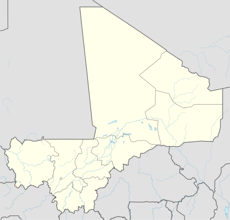 Balandougou Location in Mali | |
| Coordinates: 13°21′21″N 9°33′6″W / 13.35583°N 9.55167°WCoordinates: 13°21′21″N 9°33′6″W / 13.35583°N 9.55167°W[1] | |
| Country |
|
| Region | Kayes Region |
| Cercle | Kita Cercle |
| Commune | Saboula |
| Area | |
| • Land | 1,240,192 km2 (478,841 sq mi) |
| Population (2012) | |
| • Total | 1,596,882 [2] |
| Time zone | GMT (UTC+0) |
Balandougou is a small town and principal settlement of the commune of Saboula in the Cercle of Kita in the Kayes Region of south-western Mali.[3]
References
- ↑ "Common and Fundamental Operational Datasets Registry: Mali", United Nations Office for the Coordination of Humanitarian Affairs http://cod.humanitarianresponse.info/country-region/mali Missing or empty
|title=(help). See cheflieu_mali.zip - ↑ "Tageo.com". Tageo.
- ↑ Communes de la Région de Kayes (PDF) (in French), Ministère de l’administration territoriale et des collectivités locales, République du Mali.
This article is issued from Wikipedia - version of the 12/21/2014. The text is available under the Creative Commons Attribution/Share Alike but additional terms may apply for the media files.