Bamanbore
| Bamanbore | |
|---|---|
| town | |
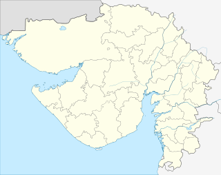 Bamanbore  Bamanbore Location in Gujarat, India | |
| Coordinates: 22°25′0″N 71°1′0″E / 22.41667°N 71.01667°ECoordinates: 22°25′0″N 71°1′0″E / 22.41667°N 71.01667°E | |
| Country |
|
| State | Gujarat |
| District | Surendranagar |
| Elevation | 184 m (604 ft) |
| Languages | |
| • Official | Gujarati, Hindi |
| Time zone | IST (UTC+5:30) |
| Vehicle registration | GJ-13 |
| Coastline | 0 kilometres (0 mi) |
| Website |
gujaratindia |
Bamanbore is a town in Surendranagar district of Gujarat, India.
Geography
It is located at 22°25′0″N 71°1′0″E / 22.41667°N 71.01667°E at an elevation of 184 m above MSL.[1]
Location
National Highway 8B ends at Bamanbore. [2] Nearest airport is Rajkot Airport.
References
- ↑ http://www.fallingrain.com/world/IN/9/Bamanbore.html Map and weather of Bamanbore
- ↑ "Archived copy". Archived from the original on April 10, 2009. Retrieved July 20, 2011. Start and end point of National Highways
External links
This article is issued from Wikipedia - version of the 10/3/2016. The text is available under the Creative Commons Attribution/Share Alike but additional terms may apply for the media files.