Bara, Scania
Not to be confused with Bara, Gotland.
| Bara | |
|---|---|
|
Bara Church | |
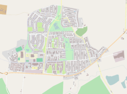 Map of Bara from OpenStreetMap | |
 Bara 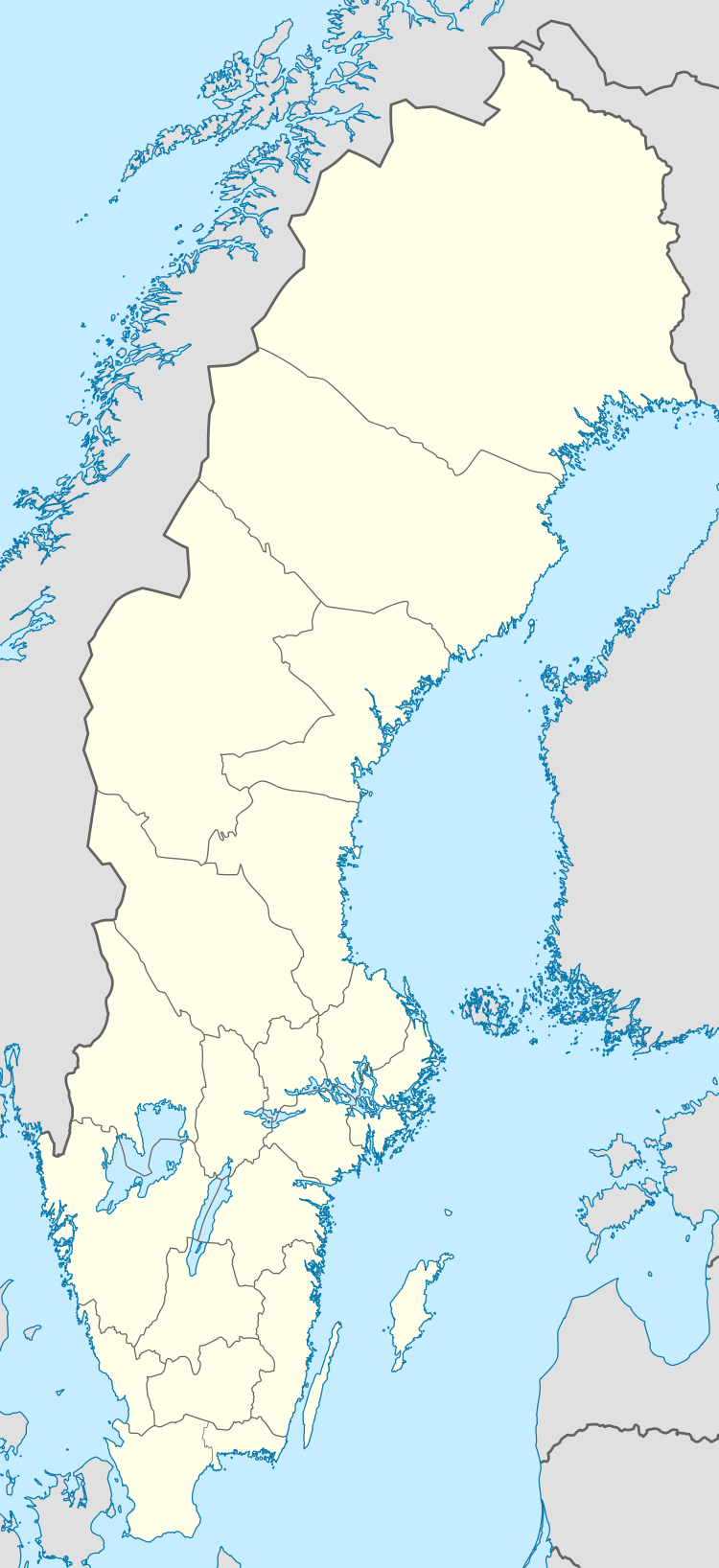 Bara Map of Bara from OpenStreetMap | |
| Coordinates: 55°35′N 13°12′E / 55.583°N 13.200°ECoordinates: 55°35′N 13°12′E / 55.583°N 13.200°E | |
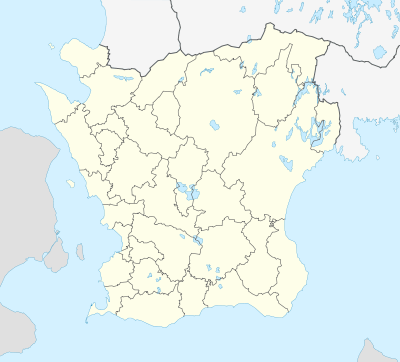
| Country | Sweden |
| Province | Scania |
| County | Skåne County |
| Municipality | Svedala Municipality |
| Area[1] | |
| • Total | 1.64 km2 (0.63 sq mi) |
| Population (31 December 2010)[1] | |
| • Total | 3,444 |
| • Density | 2,101/km2 (5,440/sq mi) |
| Time zone | CET (UTC+1) |
| • Summer (DST) | CEST (UTC+2) |
.jpg)
Bara is a locality situated in Svedala Municipality, Skåne County, Sweden with 3,444 inhabitants in 2010.[1]
History
North of Bara lies Bara church and in 1964, the construction of modern Bara started south of the church. Before Bara was an own municipality but it was merged with Svedala Municipality in 1977.
Society
There are two schools, dental clinic, health clinic, pizzeria and an ICA store.[2]
South of Bara lies a PGA golfcourse. It was introduced by Annika Sörenstam on 12 June 2009.[3]
Future
On 14 February 2011 construction began on a new school in Bara. The name has not yet been determined.[4]
There are plans to construct additional buildings to the north and west of Bara.[5]
References
- 1 2 3 "Tätorternas landareal, folkmängd och invånare per km22005 och 2010" (in Swedish). Statistics Sweden. 14 December 2011. Archived from the original on 10 January 2012. Retrieved 10 January 2012.
- ↑ Administrator. "Karta över Bara". Bara municipality.
- ↑ Annika Sörenstam inviger golfbanan Archived September 18, 2011, at the Wayback Machine.
- ↑ The new school in Bara Archived November 22, 2011, at the Wayback Machine.
- ↑ The new houses to be built in Bara Archived January 5, 2012, at the Wayback Machine.
This article is issued from Wikipedia - version of the 11/17/2016. The text is available under the Creative Commons Attribution/Share Alike but additional terms may apply for the media files.