Barnet Gate
Coordinates: 51°38′35″N 0°14′26″W / 51.643083°N 0.240570°W

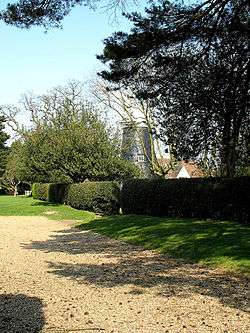
Barnet Gate Mill
Barnet Gate is a small hamlet on the northern edge of the London Borough of Barnet. It is located west of Arkley, near to the Stirling Corner junction with the A1. It is named after a gate formerly used to prevent cattle straying onto Barnet Common.[1]
Barnet Gate Wood and Barnet Gate Mill are located in the hamlet.
 |
Borehamwood | South Mimms | High Barnet |  |
| Elstree | |
Arkley | ||
| ||||
| | ||||
| Edgware | Mill Hill | Totteridge |
References
- ↑ Willey, Russ. Chambers London Gazetter, p 25.
This article is issued from Wikipedia - version of the 6/5/2015. The text is available under the Creative Commons Attribution/Share Alike but additional terms may apply for the media files.

