Barrett Mountain
| Barrett Mountain | |
|---|---|
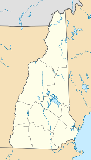 Barrett Mountain Location in New Hampshire | |
| Highest point | |
| Elevation | 1840+ ft (561+ m) [1] |
| Prominence | 240 ft (73 m) [1] |
| Listing | Mountains of New Hampshire |
| Coordinates | 42°45′42″N 71°54′55″W / 42.7617525°N 71.9153555°WCoordinates: 42°45′42″N 71°54′55″W / 42.7617525°N 71.9153555°W [2] |
| Geography | |
| Location | New Ipswich, New Hampshire |
| Parent range | Wapack Range |
| Topo map | USGS Peterborough South |
| Geology | |
| Age of rock | 400 million years |
| Mountain type | metamorphic rock |
| Climbing | |
| Easiest route | Wapack Trail |
Barrett Mountain is a mountain located in south-central New Hampshire within the Wapack Range of mountains. It lies within the town of New Ipswich and is traversed by the 22-mile (35 km) Wapack Trail. Kidder Mountain is located directly to the north along the Wapack ridgeline; New Ipswich Mountain to the south. The summit of the mountain is mostly wooded. A cross-country ski area occupies the north side of Barrett Mountain.
The east side of the mountain drains into the Souhegan River watershed, to the Merrimack River thence the Atlantic Ocean; the northwest side drains into the Gridley River, to the Contoocook River thence into the Merrimack River; the southwest side drains into the Millers River watershed, to the Connecticut River, thence into Long Island Sound.
References
- 1 2 "Barrett Mountain, New Hampshire". Peakbagger.com. Retrieved 2013-02-01.
- ↑ "Barrett Mountain". Geographic Names Information System. United States Geological Survey. Retrieved 2013-02-01.
- Southern New Hampshire Trail Guide (1999). Boston: The Appalachian Mountain Club.
- Flanders, John (1991) Wapack Trail Guide. West Peterborough, New Hampshire: Friends of the Wapack.