Batizovský štít
| Batizovský štít | |
|---|---|
 | |
| Highest point | |
| Elevation | 2,448 m (8,031 ft) |
| Coordinates | 49°09′55″N 20°07′26″E / 49.16528°N 20.12389°ECoordinates: 49°09′55″N 20°07′26″E / 49.16528°N 20.12389°E |
| Geography | |
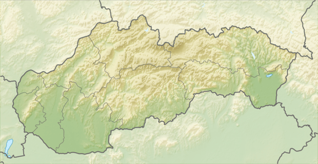 Batizovský štít Location in Slovakia | |
| Location | Poprad, Prešov, Slovakia |
| Parent range | High Tatras |
| Climbing | |
| First ascent | Karol Jurzyca in 1900 |
| Wikimedia Commons has media related to Batizovský štít. |
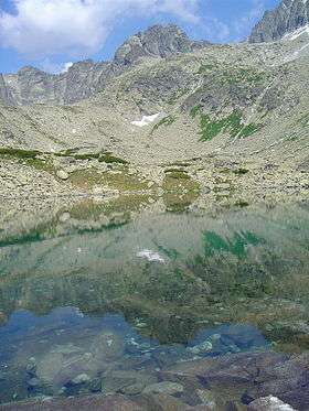
Batizovský štít is a mountain with a double peak, 2,448 metres high, in the High Tatras in Slovakia. It is named after the village of Batizovce because until 1947, it lay within its cadastral area.
It isn't accessible for tourists by a marked trail, but trail passes around the Batizovské pleso lake under the mountain.
This article is issued from Wikipedia - version of the 12/20/2015. The text is available under the Creative Commons Attribution/Share Alike but additional terms may apply for the media files.