Bayou Segnette State Park
| Bayou Segnette State Park | |
|---|---|
|
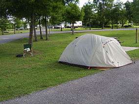
Picnic area at Bayou Segnette State Park. | |
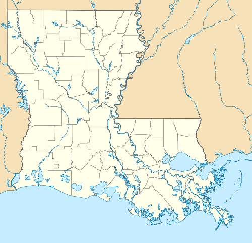
 Map of Louisiana, United States of America | |
| Location | Jefferson Parish, Louisiana, United States of America |
| Coordinates | 29°54.1801′N 90°9.2672′W / 29.9030017°N 90.1544533°W[1]Coordinates: 29°54.1801′N 90°9.2672′W / 29.9030017°N 90.1544533°W[2] |
| Area | 676 acres (2.74 km2; 1.056 sq mi)[3] |
| Governing body | Louisiana Office of State Parks |
| http://www.crt.state.la.us/parks/istb.aspx | |
Bayou Segnette State Park is located in Westwego, Jefferson Parish, southwest of New Orleans, Louisiana, on the west bank of the Mississippi River.
Bayou Segnette is not far from the urban center of New Orleans, yet it features access to two types of wetlands, swamp and marsh. Saltwater intrusion coming into the canals from the Gulf of Mexico created the marsh. This is a remarkable habitat for plant and wildlife. This habitat is home to American alligators, coypu, nine-banded armadillos, Virginia opossum, raccoons, American mink, red-tailed hawks, kites, red-winged blackbirds, bald eagles, and northern cardinals.
Features

The entrance sign to Bayou Segnette State Park.
- Boat launch with access to the marshlands and waterways of Bayou Segnette.
- Twenty waterfront vacation cabins with air conditioning, heating and piers.
- Camping for RV's and tents. There are 98 sites with water and electricity.
- Comfort stations with showers and laundry.
- RV dump station.
- Group Camp with kitchen and dormitories for up to 120 people.
- Meeting room that will accommodate 60 to 100 people.
- Wave Pool in the day use area and a swimming pool in the campground area.
- There is a 1 mile (1.6 km) nature trail.
References
- Pamphlets distributed by the Louisiana State Parks.
- ↑ "Bayou Segnette State Park - Louisiana Office of State Parks". Archived from the original on 11 January 2011. Retrieved 3 January 2011.
- ↑ "Bayou Segnette State Park - Louisiana Office of State Parks". Archived from the original on 11 January 2011. Retrieved 3 January 2011.
- ↑ Gorman, Carolyn Portier; Schultz, Deborah. Barataria-Terrebonne National Estuary Program - Tour Guide (pdf). p. 20. Retrieved 2011-03-18.
External links
- Bayou Segnette State Park – official state web page
This article is issued from Wikipedia - version of the 11/19/2016. The text is available under the Creative Commons Attribution/Share Alike but additional terms may apply for the media files.
