Chemin-A-Haut State Park
| Chemin-A-Haut State Park | |
|---|---|
|
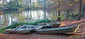
Boats on the water in Chemin-A-Haut State Park. | |
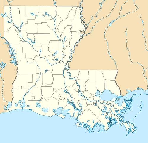
 Map of Louisiana, United States of America | |
| Location | Morehouse Parish, Louisiana, United States of America |
| Coordinates | 32°54′36″N 91°50′42″W / 32.91°N 91.845°W[1]Coordinates: 32°54′36″N 91°50′42″W / 32.91°N 91.845°W[1] |
| Area | 503 acres (2.04 km2; 0.786 sq mi)[1] |
| Established | 1935[2] |
| Governing body | Louisiana Office of State Parks |
|
www | |
Chemin-A-Haut State Park is a 503-acre (2.04 km2) site located in northern Morehouse Parish, Louisiana. Visitors may access the park from U.S. Highway 425 about 10 miles (16 km) north of Bastrop. Chemin-à-Haut means "High Road" in French. Much of the park is on a high bluff overlooking winding Bayou Bartholomew. Chemin-A-Haut was one of the earliest additions to the Louisiana State Park system.
The Nature Conservancy in Louisiana has recently acquired the 247-acre (1.00 km2) DeBlieux tract, located in a large bend of Bayou Bartholomew, and will eventually transfer the land to the State of Louisiana. The property will be added to Chemin-A-Haut, thus increasing the park's size to 750 acres (3.0 km2).[3] Bayou Bartholomew contains over 115 fish species, one of the highest counts of any stream in North America.
Visitors to the park may enjoy camping, fishing, hiking, picnicking and wildlife observation. There is a 8-mile (13 km) equestrian trail for horseback riders. During the hot summer months, guests may cool off in an on-site swimming pool.
References
- 1 2 3 "Chemin-A-Haut State Park". Louisiana Office of State Parks. Archived from the original on January 11, 2011. Retrieved January 30, 2011.
- ↑ 2009 Wall Calendar - 75 Years of Celebrating Louisiana's Treasures and Making Memories. Louisiana State Parks. 2009.
- ↑ "TNC Acquires Property Adjacent to Bayou Bartholomew to Expand Chemin-A-Haut State Park" (Press release). The Nature Conservancy in Louisiana.
