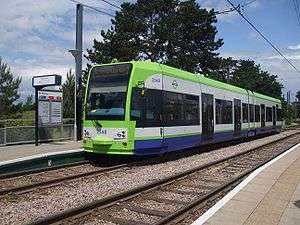
Beckenham Road tram stop
Beckenham Road | |
|---|---|
 | |
| Location |
Beckenham Road, London Borough of Bromley United Kingdom |
| Operated by | Tramlink |
| Platforms | 1 |
| Construction | |
| Disabled access | Yes |
| Other information | |
| Fare zone | London fare zones 3, 4, 5 and 6 |
| History | |
| Opened | 2000 |
| Traffic | |
| Passengers (2009–10) | 0.231 million total boardings and alightings[1] |
| Passengers (2010–11) |
|
Beckenham Road tram stop is a light rail stop in the London Borough of Bromley in the southern suburbs of London. The stop is located on an embankment above Beckenham Road (A234) which connects Beckenham with Crystal Palace and Penge on the site of the short-lived (1858–1860) West End of London & Crystal Palace Railway Penge station.[3]
The tram stop is served by Tramlink route 2, which connects central Croydon with Beckenham.[4]
The tram stop is close to Clock House railway station on the National Rail Hayes Line, which lies on the other side of Beckenham Road and at a considerably lower level. Bus stops on roads adjacent to the stop provide interchange with the following bus services (as of January 2008):[4]
- 194 – Sydenham – Croydon;
- 227 – Bromley – Crystal Palace;
- 354 – Bromley – Penge;
- 358 – Orpington – Crystal Palace;
The tram stop has a single platform which is accessed by steps and a ramp from Beckenham Road. The single track National Rail line between Crystal Palace and Beckenham Junction stations runs alongside the Tramlink line, with the two tracks occupying the site of what was previously a double track railway. However, there is no station on this line. Immediately to the east of the tram stop is a passing loop for Tramlink vehicles, and westbound trams often have to wait for an eastbound tram to clear the stop.
| Preceding tram stop | Following tram stop | |||
|---|---|---|---|---|
towards Wellesley Road | Route 2 | Terminus |
References
| Wikimedia Commons has media related to Beckenham Road tram stop. |
- ↑ "Tram Stop Usage 2009-10 (FOI)" (XLS). Tramlink annual passenger performance 2009-2010. Transport for London. 18 August 2011. Retrieved 28 November 2012.
- ↑ "Tramlink numbers 2010-2011" (PDF). Tramlink annual passenger performance 2010-2011. Transport for London. 28 March 2012. Retrieved 28 November 2012.
- ↑ "Railways of Beckenham", Andrew Hajducki, 2011
- 1 2 "Buses and trams from Beckenham Road" (PDF). Transport for London. Retrieved 2007-01-30.
Coordinates: 51°24′35″N 0°02′36″W / 51.4096°N 0.0432°W