Beigang River
| Beigang River 北港溪 | |
|---|---|
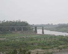 | |
 Beigang River in Taiwan | |
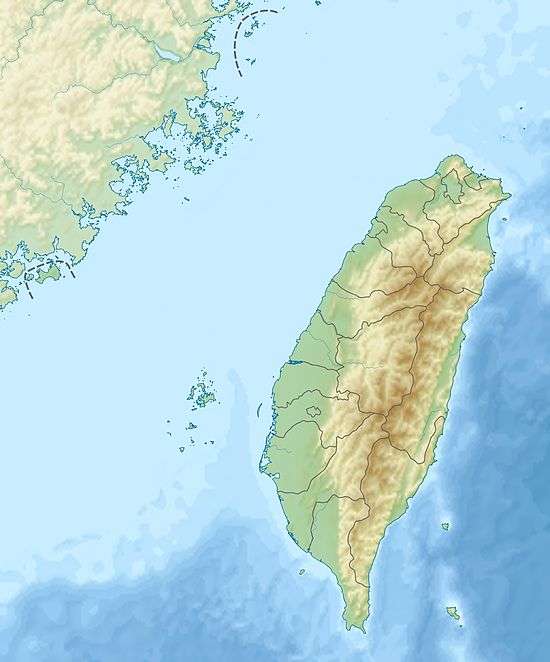
| Country | Taiwan |
| County | Yunlin and Chiayi |
| Basin | |
| Main source |
Western slopes of the Alishan Range 561 m (1,841 ft) |
| River mouth |
Pacific Ocean 0 metres (0 ft) |
| Basin size | 645.21 km2 (249.12 sq mi) |
| Physical characteristics | |
| Length | 82 km (51 mi) |
| Discharge |
|
| Features | |
| Tributaries |
|
The Beigang River (Chinese: 北港溪; pinyin: Běigǎng Xī; Wade–Giles: Pei3-kang3 Hsi1) is a river in Taiwan.[1][2] It flows through Yunlin and Chiayi counties for 82 km.[2][3]
Beigang River is moderately polluted.[4]
See also
References
- ↑ "GeoNames Search". Geographic Names Database. National Geospatial-Intelligence Agency, USA. Retrieved 2 June 2016.
- 1 2 "Geography & demographics". The Republic of China Yearbook 2015. Executive Yuan. 2015. pp. 40–53. ISBN 978-986-04-6013-1.
- ↑ "Beigang River" (in Chinese). Water Resources Agency, Ministry of Economic Affairs. Retrieved 9 September 2016.
- ↑ 民國104年 環境水質監測年報 [Annual Report of Water Quality 2015] (in Chinese). Taipei City, Taiwan (R.O.C.): Environmental Protection Administration. March 2016. Retrieved 9 September 2016. (Figure 1-8)
Coordinates: 23°31′38″N 120°09′00″E / 23.52722°N 120.15000°E
This article is issued from Wikipedia - version of the 9/9/2016. The text is available under the Creative Commons Attribution/Share Alike but additional terms may apply for the media files.