Bella Tola
| Bella Tola | |
|---|---|
 The Bella Tola (centre left) from the Torrenthorn (north side) | |
| Highest point | |
| Elevation | 3,025 m (9,925 ft) |
| Prominence | 235 m (771 ft) [1] |
| Coordinates | 46°13′53″N 7°38′46″E / 46.23139°N 7.64611°ECoordinates: 46°13′53″N 7°38′46″E / 46.23139°N 7.64611°E |
| Geography | |
 Bella Tola Location in Switzerland | |
| Location | Valais, Switzerland |
| Parent range | Pennine Alps |
The Bella Tola is a mountain of the Swiss Pennine Alps, overlooking Saint-Luc in the canton of Valais. With an elevation of 3,025 metres above sea level, it is the highest summit of the subrange north of the Meidpass (2,790 m). The Bella Tola lies near the northern end of the Weisshorn chain.
On the north side lies a small glacier named Bella Tola Gletscher.
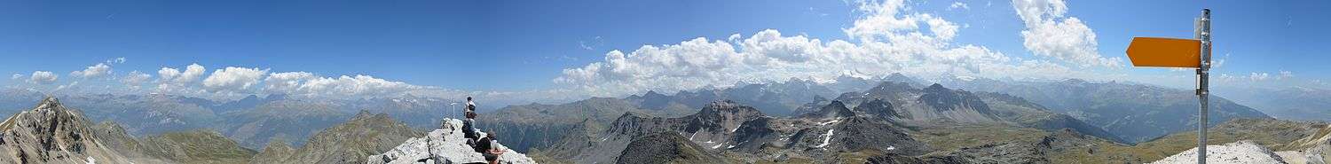
The summit of the Bella Tola is a popular vantage point, it can be reached by several trails.
Bella Tola at noon
References
External links
This article is issued from Wikipedia - version of the 5/8/2016. The text is available under the Creative Commons Attribution/Share Alike but additional terms may apply for the media files.