Belvoir, Leicestershire
| Belvoir | |
 Belvoir Castle |
|
 Belvoir |
|
| Population | 263 (Including Knipton and Harston. 2011) |
|---|---|
| OS grid reference | SK819334 |
| – London | 100 mi (160 km) SSE |
| District | Melton |
| Shire county | Leicestershire |
| Region | East Midlands |
| Country | England |
| Sovereign state | United Kingdom |
| Post town | GRANTHAM |
| Postcode district | NG32 |
| Dialling code | 01476 |
| Police | Leicestershire |
| Fire | Leicestershire |
| Ambulance | East Midlands |
| EU Parliament | East Midlands |
| UK Parliament | Rutland and Melton |
|
|
Coordinates: 52°53′32″N 0°46′59″W / 52.89212°N 0.78315°W
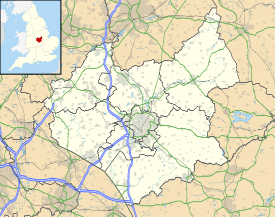
Belvoir /ˈbiːvər/ BEE-vər is a village and civil parish in the Melton district of Leicestershire, England. It is close to the county boundary with Lincolnshire, the nearest town being Grantham, 8 miles (13 km) east of the village.
The parish includes the villages of Belvoir, Knipton and Harston. Nearby places outside the parish are Woolsthorpe by Belvoir, Redmile, and Croxton Kerrial.
The village is the site of Belvoir Castle, which "stands on a prominent spur jutting northwards" into the Vale of Belvoir.[1]
References
![]() Media related to Belvoir, Leicestershire at Wikimedia Commons
Media related to Belvoir, Leicestershire at Wikimedia Commons
- ↑ Fox, Alan (1 April 2010). A Lost Frontier Revealed: Regional Separation in the East Midlands. Univ of Hertfordshire Press. p. 38. ISBN 978-1-907396-36-6.
England Portal | |
| Unitary authorities | |
| Boroughs or districts | |
| Major settlements | |
| Topics | |
This article is issued from Wikipedia - version of the 10/29/2016. The text is available under the Creative Commons Attribution/Share Alike but additional terms may apply for the media files.