Bergambacht
| Bergambacht | |
|---|---|
| Village and former municipality | |
|
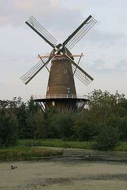
Windmill Den Arend in Bergambacht | |
.svg.png) Location in South Holland | |
| Coordinates: 51°56′N 4°47′E / 51.933°N 4.783°ECoordinates: 51°56′N 4°47′E / 51.933°N 4.783°E | |
| Country | Netherlands |
| Province | South Holland |
| Municipality | Krimpenerwaard |
| Area[1] | |
| • Total | 38.06 km2 (14.70 sq mi) |
| • Land | 35.10 km2 (13.55 sq mi) |
| • Water | 2.96 km2 (1.14 sq mi) |
| Elevation[2] | 1 m (3 ft) |
| Population (May 2014)[3] | |
| • Total | 10,016 |
| • Density | 285/km2 (740/sq mi) |
| Time zone | CET (UTC+1) |
| • Summer (DST) | CEST (UTC+2) |
| Postcode | 2825, 2860–2861, 2865 |
| Area code | 0182 |
| Website |
www |
Bergambacht (Dutch pronunciation: [bɛrxˈʔɑmbɑxt]) is a village and former municipality in the western Netherlands, in the province of South Holland. Since 2015 it has been a part of the municipality of Krimpenerwaard.
The former municipality covered an area of 38.06 km2 (14.70 sq mi) of which 2.96 km2 (1.14 sq mi) was water, and had a population of 10,016 as of 2014. The former municipality included the communities of Ammerstol and Berkenwoude, which were separate municipalities until they merged with Bergambacht in 1985.
Topography

Topographic map of the former municipality of Bergambacht, 2013.
References
- ↑ "Kerncijfers wijken en buurten" [Key figures for neighbourhoods]. CBS Statline (in Dutch). CBS. 2 July 2013. Retrieved 12 March 2014.
- ↑ "Postcodetool for 2861AH". Actueel Hoogtebestand Nederland (in Dutch). Het Waterschapshuis. Retrieved 14 July 2013.
- ↑ "Bevolkingsontwikkeling; regio per maand" [Population growth; regions per month]. CBS Statline (in Dutch). CBS. 26 June 2014. Retrieved 24 July 2014.
External links
 |
Ouderkerk | Vlist | | |
| Nederlek | |
Schoonhoven | ||
| ||||
| | ||||
| Lek Molenwaard |
This article is issued from Wikipedia - version of the 8/15/2015. The text is available under the Creative Commons Attribution/Share Alike but additional terms may apply for the media files.