Blueberry River (Minnesota)
| Blueberry River | |
| River | |
 The Blueberry River in Blueberry Township in 2007 | |
| Country | United States |
|---|---|
| State | Minnesota |
| Tributaries | |
| - right | Kettle River |
| Source | |
| - location | Green Valley Township, Becker County |
| - elevation | 1,506 ft (459 m) [1] |
| - coordinates | 46°50′30″N 95°16′45″W / 46.84167°N 95.27917°W [2] |
| Mouth | Blueberry Lake, Shell River |
| - location | Blueberry Township, Wadena County |
| - elevation | 1,362 ft (415 m) [1] |
| - coordinates | 46°46′48″N 95°05′34″W / 46.78000°N 95.09278°WCoordinates: 46°46′48″N 95°05′34″W / 46.78000°N 95.09278°W [2] |
| Length | 20 mi (32 km) [3] |
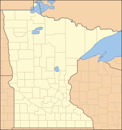 Location of the mouth of the Blueberry River
| |
The Blueberry River is a tributary of the Shell River, approximately twenty miles (30 km) long, in north-central Minnesota in the United States. Via the Shell and Crow Wing Rivers, it is part of the watershed of the Mississippi River, draining a rural area.
The river's name is a translation from its name in the Ojibwe language.[4]
Geography
The Blueberry River rises in Green Valley Township in southeastern Becker County and flows generally southeastwardly. It flows for a short distance in southwestern Hubbard County and enters northwestern Wadena County, collecting the Kettle River and passing through the city of Menahga. It flows into Blueberry Lake on the Shell River in Blueberry Township in Wadena County, approximately two miles (3 km) north of Menahga.[5] The Blueberry River flows in the Northern Lakes and Forests ecoregion, which is characterized by conifer and hardwood forests on flat and rolling till plains and outwash plains.[6]
See also
References and notes
- 1 2 Google Earth elevation for GNIS coordinates. Retrieved on 2007-06-24.
- 1 2 "Geographic Names Information System entry for Blueberry River (Feature ID #640304)". Geographic Names Information System. United States Geological Survey. Retrieved 2007-06-24.
- ↑ "National Assessment Database: Assessment Data for the State of Minnesota Year 2004.". United States Environmental Protection Agency. pp. Crow Wing Watershed. Retrieved 2007-06-24. Length of the river from an unnamed tributary to its mouth is 10.56 miles. Upstream length estimated at eight miles per DeLorme, and total rounded to twenty miles.
- ↑ Upham, Warren. "Minnesota Place Names: A Geographical Encyclopedia.". Minnesota Historical Society. pp. Wadena County: Blueberry Township. Retrieved 2007-06-24.
- ↑ Minnesota Atlas & Gazetteer. Yarmouth, Me.: DeLorme. 1994. p. 61. ISBN 0-89933-222-6.
- ↑ "Upper Mississippi River Basin.". Minnesota Pollution Control Agency. 2000. pp. Upper Mississippi River Basin Water Quality Plan, Headwaters to the Rum River - Anoka, Section III: Upper Mississippi River Basin. Retrieved 2007-06-24.