Bridger Pass
| Bridger Pass[1] | |
|---|---|
|
Bridger's Pass[2] Name origin: Jim Bridger | |
| Elevation | 7,532 ft (2,296 m)[3] |
| Traversed by |
Stansbury Expedition |
| Range | Sierra Madre (Wyoming) |
| Coordinates | 41°33′02″N 107°26′05″W / 41.5505°N 107.4347°W |
|
Bridger's Pass | |
 | |
| Nearest city | Rawlins, Wyoming |
|---|---|
| Coordinates | 41°33′3″N 107°26′4″W / 41.55083°N 107.43444°WCoordinates: 41°33′3″N 107°26′4″W / 41.55083°N 107.43444°W |
| Area | less than one acre |
| Built | 1850 |
| NRHP Reference # | 70000669[4] |
| Added to NRHP | April 28, 1970 |
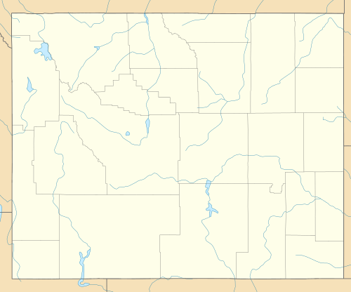
Bridger Pass is a mountain pass in Carbon County, Wyoming on the Continental Divide near the south Great Divide Basin bifurcation point, i.e., the point at which the divide appears to split and envelop the basin.
The first documented crossing of Bridger Pass was by the Stansbury Expedition, returning east from an expedition to Utah and guided by Jim Bridger.[2] A decade later the pass was in regular use by travelers on the Overland Trail and the associated stage line, these having been established along the route described by Stansbury and known since that time as the Cherokee Trail. To support the stage line, the Bridger Stage Station was established near the pass. The Overland Trail was used steadily between 1860 and 1869 until the First Transcontinental Railroad made the stage line obsolete.

In modern times, the official route of the Continental Divide Trail uses Bridger Pass Road to Navigate the Great Divide Basin between Battle Pass on Wyoming Highway 70 to Rawlins, Wyoming. A challenge to hikers is the lack of potable water along this section due to the brackish nature (salinity) of water in the basin.[5]
References
- ↑ U.S. Geological Survey Geographic Names Information System: Bridger Pass
- 1 2 Barnhart, Bill (Dec 19, 1969). "Bridger's Pass: Nomination Form" (pdf). NPS Focus. Wyoming Recreation Commission. Retrieved 2010-04-27.
- ↑ "Bridger Pass, Wyoming, USGS 7.5 minute topographic map via TopoQuest". USGS. Retrieved 2013-05-26.
- ↑ National Park Service (2009-03-13). "National Register Information System". National Register of Historic Places. National Park Service.
- ↑ Wyoming's Continental Divide Trail by Lora Davis - 2000

External links
-
 "Bridger's Pass". New International Encyclopedia. 1905.