Burrill
For other uses, see Burrill (disambiguation).

Coordinates: 54°16′47″N 1°37′58″W / 54.279800°N 1.632700°W
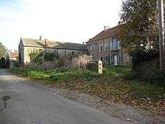
Burrill is a small village in the Hambleton district of North Yorkshire, England.[1][2] It is in the parish of Burrill with Cowling and 1 mile west of Bedale.
References
- ↑ Ordnance Survey: Landranger map sheet 99 Northallerton & Ripon (Pateley Bridge & Leyburn) (Map). Ordnance Survey. 2013. ISBN 9780319231593.
- ↑ "Ordnance Survey: 1:50,000 Scale Gazetteer" (csv (download)). www.ordnancesurvey.co.uk. Ordnance Survey. 1 January 2016. Retrieved 30 January 2016.
This article is issued from Wikipedia - version of the 2/3/2016. The text is available under the Creative Commons Attribution/Share Alike but additional terms may apply for the media files.