Burton Hastings
| Burton Hastings | |
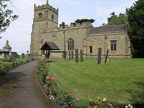 Saint Botolph parish church |
|
 Burton Hastings |
|
| Population | 226 (2011) |
|---|---|
| Shire county | Warwickshire |
| Region | West Midlands |
| Country | England |
| Sovereign state | United Kingdom |
| Post town | Nuneaton |
| Postcode district | CV 11 |
| Dialling code | 01455 |
| Police | Warwickshire |
| Fire | Warwickshire |
| Ambulance | West Midlands |
| EU Parliament | West Midlands |
|
|
Coordinates: 52°30′18″N 1°23′46″W / 52.505°N 1.396°W
Burton Hastings is a village in the English county of Warwickshire.[1]
Location
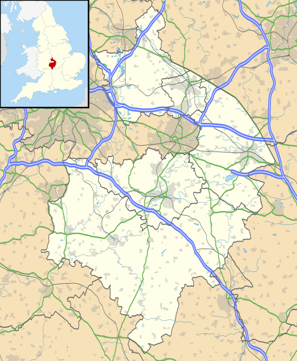
The village is located 4.4 miles (7.1 km) east of the town of Nuneaton and is 13.7 miles (22.0 km) north east of the city of Coventry. The nearest railway station is at Nuneaton which is 4.6 miles (7.4 km) west of the village. The northern parish boundary is a little south of the A5 trunk road known as Watling Street which is also the county boundary at this point between Warwickshire and Leicestershire. The northern boundary is marked by the Soar Brook which divides it from nearby Stretton Baskerville. The boundary to west and south is with Nuneaton, Bulkington, and Wolvey and the River Anker. The eastern boundary follows the road from Wolvey to Hinckley. A branch of the Coventry Canal system, known as the Ashby de la Zouch Canal passes through the west of the parish. The name derives from the Hastings family who held the manor until 1529. Burton Hastings is often used by commuters who work in nearby towns.
Population
The current population of the village is around 250, falling to 226 at the 2011 Census.[2] In 2001 there were 92 houses in the village, on five streets all of which branch off from Hinckley Road.
Religion
The parish Church is called Saint Botolph and is located at the centre of the village.
External links
| Wikimedia Commons has media related to Burton Hastings. |
References
- ↑ OS Explorer Map 232 : Nuneaton & Tamworth: (1:25 000) :ISBN 0 319 46404 0
- ↑ "Civil Parish population 2011". Retrieved 26 December 2015.