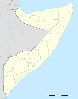
Caanoole
| Caanoole | |
|---|---|
| Village | |
 Caanoole Location in Somalia | |
| Coordinates: 2°0′50″N 42°18′54″E / 2.01389°N 42.31500°ECoordinates: 2°0′50″N 42°18′54″E / 2.01389°N 42.31500°E | |
| Country |
|
| Region | Gedo |
| Time zone | EAT (UTC+3) |
Caanoole (also: Anole, Canoole Cise)[1] is a village in the Bardera District in the southeastern Gedo region in Somalia. The village sits right on the middle of the road between Bardera (Gedo) and Sakow, (Middle Juba). Caanoole has an estimated population of 1,700 inhabitants. Closest nearby are the village of Hareeri and the town of Barrow Diinle. Barrow Diinle is a large farming community while Hareeri is grazing area about 7 km southeast of Anole.
Caanoole has one public school and a number of Madaras. Farmers who keep family farms on the banks of the Juba River adjacent to the town about 5 km west sell their produce and farm fruits from their makeshift tea and fruit shops along the road. Cars passing through the town buy mangoes, papayas, orange, watermelons and number of other farm fresh products.
The Juba Valley Mountain Ranges which start from Lugh District in Gedo region end at about 10 km east of Anole. As you stand in the center of the village, you can see the mountain on northeast direction.
External links
Sources and footnotes
- ↑ See "Geonames.org" and "Geographic.org" for name variants and location of this village.