Cajati Environmental Protection Area
| Cajati Environmental Protection Area | |
|---|---|
| Área de Proteção Ambiental de Cajati | |
|
IUCN category V (protected landscape/seascape) | |
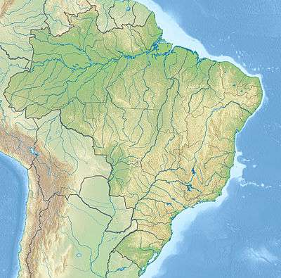 | |
| Nearest city | Cajati, São Paulo |
| Coordinates | 24°48′45″S 48°15′12″W / 24.812378°S 48.253306°WCoordinates: 24°48′45″S 48°15′12″W / 24.812378°S 48.253306°W |
| Area | 2,976 hectares (7,350 acres) |
| Designation | Environmental protection area |
| Created | 21 February 2008 |
| Administrator | Fundação Florestal SP |
The Cajati Environmental Protection Area (Portuguese: Área de Proteção Ambiental de Cajati) is an environmental protection area in the state of São Paulo, Brazil.
Location
The Cajati Environmental Protection Area is in the municipality of Cajati, São Paulo. It has an area of 2,976 hectares (7,350 acres).[1] It is in the Atlantic Forest biome, Vegetation is dense rainforest.[2] Hunting, fishing and sale of land are prohibited.[3]
History
The Cajati Environmental Protection Area was created by state law 12.810 of 21 February 2008 with an area of 2,975.71 hectares (7,353.1 acres).[4] This law broke up the old Jacupiranga State Park and created the Jacupiranga Mosaic with 14 conservation units.[5]
Notes
- ↑ APA de Cajati – ISA, Informações gerais.
- ↑ Sobre a Área de Proteção – SAP.
- ↑ APA de Cajati – Fundação Florestal.
- ↑ APA de Cajati – ISA, Historico Juridico.
- ↑ Zanchetta & Bedeschi 2008.
Sources
- APA de Cajati (PDF) (in Portuguese), Fundação Florestal SP, retrieved 2016-11-26
- APA de Cajati (in Portuguese), ISA: Instituto Socioambiental, retrieved 2016-11-26
- Sobre a Área de Proteção (in Portuguese), SAP: Sistema Ambiental Paulista, retrieved 2016-11-26
- Zanchetta, Inês; Bedeschi, Luciana (28 February 2008), Mosaico do Jacupiranga, no Vale do Ribeira, agora é lei (in Portuguese), ISA: Instituto Socioambiental, retrieved 2016-11-20
This article is issued from Wikipedia - version of the 11/26/2016. The text is available under the Creative Commons Attribution/Share Alike but additional terms may apply for the media files.