Calcethorpe
| Calcethorpe | |
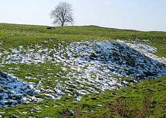
 Earthworks at Calcethorpe deserted medieval village |
|
 Calcethorpe |
|
| Population | 70 (2001 Census) (with Kelstern) |
|---|---|
| OS grid reference | TF248887 |
| – London | 130 mi (210 km) S |
| Civil parish | Calcethorpe with Kelstern |
| District | East Lindsey |
| Shire county | Lincolnshire |
| Region | East Midlands |
| Country | England |
| Sovereign state | United Kingdom |
| Post town | Louth |
| Postcode district | LN11 |
| Police | Lincolnshire |
| Fire | Lincolnshire |
| Ambulance | East Midlands |
| EU Parliament | East Midlands |
| UK Parliament | Louth and Horncastle |
|
|
Coordinates: 53°22′50″N 0°07′29″W / 53.380460°N 0.124674°W
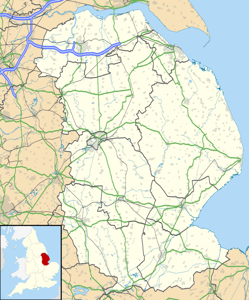
Calcethorpe is a hamlet and deserted medieval village (DMV), in the East Lindsey district of Lincolnshire, England. It is situated approximately 5 miles (8 km) west from the market town of Louth, and in the Lincolnshire Wolds, an Area of Outstanding Natural Beauty. The hamlet forms part of the civil parish of Calcethorpe with Kelstern.
Calcethorpe is recorded in the 1086 Domesday Book as having two households and six acres of meadow.[1]
The church was dedicated to Saint Faith but had fallen into ruin and disappeared by about 1450, around the same time as the rest of the village was abandoned. The earthworks near Manor Farm are known locally as 'Priests Close' and the probable site of the church.[2][3][4]
References
- ↑ "Calcethorpe". Domesdaymap.co.uk. Anna Powell-Smith/University of Hull. Retrieved 26 June 2011.
- ↑ "St Faith's church, Calcethorpe". Lincs to the Past. Retrieved 26 June 2011.
- ↑ Historic England. "Calcethorpe (353068)". PastScape. Retrieved 26 June 2011.
- ↑ "Deserted village (site of) N of Calcethorpe Manor Farm". Ancientmonuments.info. Retrieved 26 June 2011.
External links
 Media related to Calcethorpe at Wikimedia Commons