Camuston
| Camuston | |
 Camuston |
|
| OS grid reference | NO523380 |
|---|---|
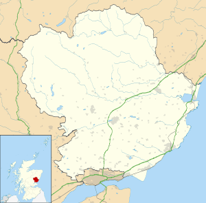
| Council area | Angus |
| Lieutenancy area | Angus |
| Country | Scotland |
| Sovereign state | United Kingdom |
| Police | Scottish |
| Fire | Scottish |
| Ambulance | Scottish |
| EU Parliament | Scotland |
Coordinates: 56°31′54″N 2°46′38″W / 56.531586°N 2.777087°W
Camuston was a village that once existed in Angus, Scotland until the late 18th/early 19th centuries. No trace of it can be found today, but its former location on land between Panmure House and Camustane Hill can be seen for example in the 1794 map by Ainslie, about half a mile to the East of the Camus Cross[1] Camuston can be found with earlier spelling variations, for example, 'Cambistown' as it is called in documents from 1425-6,[2] and has a Celtic rather than Scandinavian etymology.[3]
References
- ↑ Ainslie, J. (1794), "Map of the county of Forfar or Shire of Angus", National Libraries of Scotland, retrieved September 2, 2008
- ↑ Jervise, A. (1861). Memorials of Angus and the Mearns: being an account, historical, antiquarian, and traditionary of the castles and towns visited by Edward I and the barons, clergy and others who swore fealty to England in 1291-6. Edinburgh: Adam & Charles Black.
- ↑ Worsaae, J. J. A. (1852). An account of the Danes and Norwegians in England, Scotland and Ireland. London: John Murray.
This article is issued from Wikipedia - version of the 9/23/2016. The text is available under the Creative Commons Attribution/Share Alike but additional terms may apply for the media files.