Castra of Sărățeni
| Castra of Sărățeni | |
|---|---|
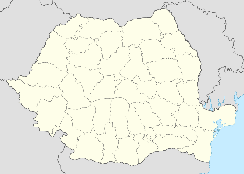 Location within Romania | |
| Abandoned | 4th or 5th century AD |
| Place in the Roman world | |
| Province | Dacia |
| Administrative unit | Dacia Porolissensis |
| Administrative unit | Dacia Superior |
| Limes | Porolissensis |
| Structure | |
| — Stone [1] structure — | |
| Size and area | 112 m x 148 m (1.6 [1] ha) |
| Stationed military units | |
| — Cohorts — | |
| I Ubiorum [2] | |
| Location | |
| Coordinates | 46°33′46″N 25°00′53″E / 46.56270°N 25.01481°E |
| Place name | Castru |
| Town | Sărăţeni |
| County | Mureș |
| Country |
|
| Reference | |
| RO-LMI | MS-I-m-B-15416.01 [3] |
| RO-RAN | 114907.01 [3] |
| Site notes | |
| Recognition |
|
| Condition | Ruined |
It was a fort in the Roman province of Dacia, at modern Sărățeni, Mureș.
See also
External links
Notes
- 1 2 3 Sarateni
- 1 2 Tactica, strategie si specific de lupta la cohortele equitate din Dacia Romana, Petru Ureche
- 1 2 "National Archaeological Record (RAN)". ran.cimec.ro. Retrieved 7 December 2012.
This article is issued from Wikipedia - version of the 11/16/2016. The text is available under the Creative Commons Attribution/Share Alike but additional terms may apply for the media files.