Cavel
| Cavel | |
|---|---|
| neighbourhood | |
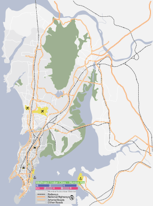 Cavel Location in Mumbai, India | |
| Coordinates: 18°56′51″N 72°49′38″E / 18.9474°N 72.8272°ECoordinates: 18°56′51″N 72°49′38″E / 18.9474°N 72.8272°E | |
| Country |
|
| State | Maharashtra |
| District | Mumbai City |
| Metro | Mumbai |
| Zone | 1 |
| Ward | C |
| Government | |
| • Body | MCGM |
| Elevation | 11 m (36 ft) |
| Languages | |
| • Official | Marathi |
| Time zone | IST (UTC+5:30) |
| PIN | 400002[1] |
| Area code(s) | 022 |
| Vehicle registration | MH 01 |
| Lok Sabha constituency | Mumbai South |
| Vidhan Sabha constituency | Mumbadevi |
| Civic agency | MCGM |
Cavel is a neighbourhood in South Mumbai. It is located to the north-east of Dhobitalao near the Chira Bazaar area. It got its name from the Koli word Kolwar. The Kolis of this village were converted to Christianity by the Portuguese in the 16th century. Cavel thus became a Christian enclave, and later immigrants of this religion, from Goa, Daman, Bassein and Salsette settled here. Two Portuguese churches are built here, Nossa Senhora de Saude, built in 1794, presently known as Our Lady of Health, Cavel and Nossa Senhora d'Esperance. In later centuries, when the Christian population moved north, Gujarati and Marwari traders moved into Cavel.
See also
References
- ↑ "Pin code : Cavel, Mumbai". pincode.org.in. Retrieved 9 February 2015.
External links
This article is issued from Wikipedia - version of the 3/1/2016. The text is available under the Creative Commons Attribution/Share Alike but additional terms may apply for the media files.