Cook Island, South Sandwich Islands
 South Sandwich Islands | |
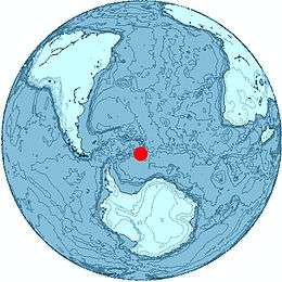 Location of Cook Island | |
| Geography | |
|---|---|
| Coordinates | 59°27′S 027°10′W / 59.450°S 27.167°W |
| Archipelago | South Sandwich Islands |
| Length | 6 km (3.7 mi) |
| Width | 3 km (1.9 mi) |
| Highest elevation | 1,115 m (3,658 ft) |
| Highest point | Mount Harmer |
| Administration | |
|
United Kingdom | |
| Demographics | |
| Population | Uninhabited |
Cook Island is the central and largest island of Southern Thule, part of the South Sandwich Islands in the far south Atlantic Ocean. Southern Thule was discovered by a British expedition under Captain James Cook in 1775. The island was named for Cook by a Russian expedition under Bellingshausen, which explored the South Sandwich Islands in 1819–20.
Cook Island measures about 6 by 3 km (3.7 by 1.9 mi) wide. It is heavily glaciated and uninhabited. Its highest peak, Mount Harmer, rises to 1,115 m (3,658 ft).
See also
References
- W.E. LeMasurier; J.W. Thomson, eds. (1990). Volcanoes of the Antarctic Plate and Southern Oceans. American Geophysical Union. p. 512 pp. ISBN 0-87590-172-7.
Capital: King Edward Point (Grytviken) | |
| General | |
| Settlements / Whaling stations | |
| South Georgia islands | |
| South Sandwich islands | |
| Landmarks |
|
This article is issued from Wikipedia - version of the 11/12/2016. The text is available under the Creative Commons Attribution/Share Alike but additional terms may apply for the media files.