Cormorant, Manitoba
| Cormorant | |
|---|---|
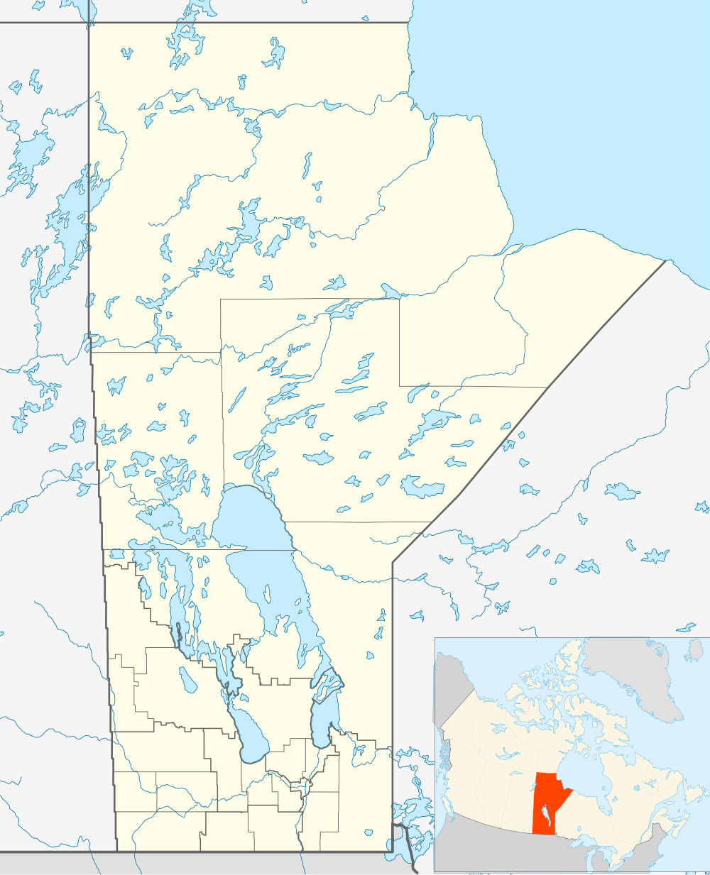 Cormorant Location of Cormorant in Manitoba | |
| Coordinates: 54°13′26″N 100°36′1″W / 54.22389°N 100.60028°WCoordinates: 54°13′26″N 100°36′1″W / 54.22389°N 100.60028°W | |
| Country |
|
| Province |
|
| Region | Northern Region |
| Census Division | No. 21 |
| Government | |
| • Mayor | Douglas Genaille |
| • Governing Body | Cormorant Community Council |
| • MP | Niki Ashton |
| • MLA | Frank Whitehead |
| Time zone | CST (UTC−6) |
| • Summer (DST) | CDT (UTC−5) |
| Postal Code | R0B 0G0 |
| Area code(s) | 204 |
| NTS Map | 063K02 |
| GNBC Code | GAFMY |
.jpg)
Cormorant is an unincorporated community in the Canadian province of Manitoba on the east shore of Cormorant Lake about 80 kilometres from The Pas, Manitoba. The community is in the west central region of the province. It has been an Aboriginal and First Nations campsite dating back to the 1900s. The post office in the community was established in July, 1928.[1]
As of 2001 the community had a population of 400 in 139 households. Community services include local water supply, waste disposal, Cormorant School, first hall, and Cormorant Lodge.[2]
It is governed by a mayor and council.
Fishing, trapping and logging are the primary industries.
Cormorant is served by Via Rail's Winnipeg – Churchill rail line at the Cormorant railway station.
Demographics
In the 2011 Census, the Cormorant designated place had a population of 346 living in 93 of its 111 total private dwellings.[3]
| Canada census – Cormorant, Manitoba community profile | |||
|---|---|---|---|
| 2011 | |||
| Population: | 346[3] (3.6% from 2006) | ||
| Land area: | 13.79 km2 (5.32 sq mi) | ||
| Population density: | 25.1/km2 (65/sq mi) | ||
| Median age: | 26.8 (M: 23.8, F: 27.9) | ||
| Total private dwellings: | 111 | ||
| Median household income: | |||
| References: 2011[4] | |||
References
- ↑ http://www.collectionscanada.gc.ca/databases/post-offices/001001-100.01-e.php Library and Archivers of Canada - Postmaster database
- ↑ http://www.gov.mb.ca/ana/community_profiles/pdf/cormorant.pdf
- 1 2 "Corrections and updates: Population and dwelling count amendments, 2011 Census". Statistics Canada. February 14, 2013. Retrieved February 16, 2013.
- ↑ "2011 Community Profiles". Canada 2011 Census. Statistics Canada. July 5, 2013. Retrieved 2012-07-14.