Cullyhanna
Cullyhanna (from Irish Coilleach Eanach, meaning "marshy wood" or Coill Uí hAnnaidh meaning "Ó Hanna's wood") is a small village and townland in County Armagh, Northern Ireland. It lies on the main road between Newtownhamilton and Crossmaglen. It had a population of 306 in the 2001 Census. It is within the Newry and Mourne District Council area.
History
The Troubles
Cullyhanna is situated in South Armagh, and the region has been a stronghold of support for the IRA, earning it the nickname "Bandit Country". The British army nicknamed the local IRA unit the "Cullyhanna Gun Club". The village and the surrounding townlands, were the most dangerous areas in Northern Ireland for security forces during the mid 1990s up until the second IRA ceasefire. See Provisional IRA South Armagh Brigade
For more information see The Troubles in Cullyhanna, which includes a list of incidents in Cullyhanna during the Troubles resulting in two or more fatalities.
People
It is close to the birthplace of Cardinal Tomás Ó Fiaich, who until his death was head of the Roman Catholic Church in Ireland. When a new school, St Patrick's Primary, was built in the village, the old school was renovated to provide a heritage centre known as the Ó Fíaich Heritage Centre. Paul Quinn (murder victim) was a native of the area.
Sport
Cullyhanna is also home to St Patrick's Gaelic Football Club club (Cumann Naomh Pádraig). It consists of men and women's football teams and also has camogie teams. The recently built club house facilities are a focus for community activity. They beat Crossmaglen Rangers on October 2nd 2016 to reach the Armagh Senior Championship final for the first time in their history.
Ashfield Golf Course is an 18-hole course at Cullyhanna.
Orange Order
The Orange Order Lodge was founded and opened by Henry Savage in 1985. Henry organises the local Orange Order parade from the square to Freeduff Chapel on the 12th of July every year.
Education
References
External links
See also
Geography of County Armagh | ||
|---|---|---|
| Cities and towns | 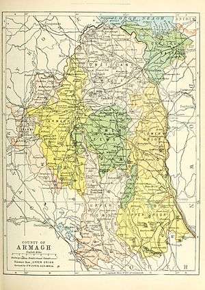 | |
| Villages and townlands |
| |
| Landforms | ||
| Baronies | ||
| ||
Coordinates: 54°08′N 6°35′W / 54.133°N 6.583°W