Dehra Compass
| Dehra Compass | |
|---|---|
 | |
| Elevation | 5,450 m (17,881 ft) |
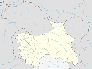
| Location | China |
| Coordinates | 34°55′41″N 78°41′32″E / 34.928192°N 78.69214°ECoordinates: 34°55′41″N 78°41′32″E / 34.928192°N 78.69214°E |
Dehra Compass, also known as Kompas La, is a mountain pass in Aksai Chin, under Chinese control, and claimed by India. 'Dehra' is derived from the Punjabi and Seraiki language word 'dera', meaning camp, while 'Compass' comes from the name of a survey officer, Kompas-Walla.[1] Chinese troops occupied Dehra Compass in 1961.[2][3]
References
- ↑ Bates, Charles Ellison (1878). Central Asia: A contribution towards the better knowledge of the topography, ethnology, resources, & history of Ladak.
- ↑ Smith, Chris (1994). India's Ad Hoc Arsenal. Oxford University Press. p. 75.
- ↑ Kavic, Lorne J. (1967). India's Quest for Security. University of California Press. p. 169.
This article is issued from Wikipedia - version of the 9/21/2016. The text is available under the Creative Commons Attribution/Share Alike but additional terms may apply for the media files.