Demir Kapija Municipality
| Demir Kapija Municipality Општина Демир Капија | |||
|---|---|---|---|
| Urban municipality | |||
| |||
 | |||
 Demir Kapija Municipality | |||
| Coordinates: 41°24′32″N 22°14′38″E / 41.409°N 22.244°ECoordinates: 41°24′32″N 22°14′38″E / 41.409°N 22.244°E | |||
| Country |
| ||
| Region | Vardar Statistical Region | ||
| Municipal seat | Demir Kapija | ||
| Government | |||
| • Mayor | Trajche Dimitriev (VMRO-DPMNE) | ||
| Area | |||
| • Total | 311.06 km2 (120.10 sq mi) | ||
| Elevation | 202 m (663 ft) | ||
| Population | |||
| • Total | 4,545 | ||
| • Density | 15/km2 (38/sq mi) | ||
| Time zone | CET (UTC+1) | ||
| Postal Code | 1442 | ||
| Area Code | 034 | ||
| Vehicle registration | DK | ||
| Website |
www | ||

Demir Kapija (Macedonian: Демир Капија [ˌdɛmir ˈkapija]) is a municipality in southern part of Republic of Macedonia. Demir Kapija, which means "iron door" or "iron gate" in Turkish, is also the name of the town where the municipal seat is found. Demir Kapija Municipality is part of the Vardar Statistical Region.
Geography
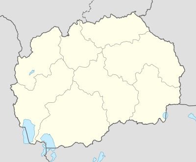
The municipality borders Negotino Municipality to the northwest, Konče Municipality to the northeast, Valandovo Municipality to the east, Gevgelija Municipality to the southeast, and Kavadarci Municipality to the southwest.
Demographics
According to the last national census from 2002 this municipality has 4,545 inhabitants.[1]
Ethnic groups in the municipality include:
- Macedonians = 3,997 (87.9%)
- Turks = 344 (7.6%)
- Serbs = 132 (2.9%)
- others.
Populated settlements include:
- Demir Kapija (seat)
- Čelevec
- Čiflik
- Barovo
- Besvica
- Bistrenci
- Dračevica
- Dren
- Iberli
- Klisura
- Košarka
- Koprišnica
- Korešnica
- Prždevo
- Strmaševo
References
- ↑ 2002 census results in English and Macedonian (PDF)
This article is issued from Wikipedia - version of the 10/21/2016. The text is available under the Creative Commons Attribution/Share Alike but additional terms may apply for the media files.