Dena
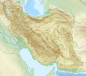
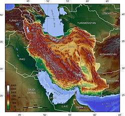
Dena (in Persian and Lurish: دنا) is the name for a sub-range within the Zagros Range of West/Southwestern Iran. Mount Dena, with 80 km length and 15 km average width, is situated on the boundary of the Isfahan, Kohgiluyeh and Boyer-Ahmad and Chaharmahal and Bakhtiari provinces.[2]
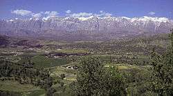
Mount Dena has more than 40 peaks higher than 4000 metres. With an elevation of 4,409 metres above sea level, Qash-Mastan is the highest peak in the Dena Range and in the Zagros Mountains in general. Another famous peak in this range is Hose-Daal close to Sisakht city, 30 km to the north of Yasuj.
Annual precipitation in Mount Dena is from 600 to 1800 mm and various rivers including a branch of the Karun rise in this range.
Geologically, Mount Dena is located in the Sanandaj-Sirjan geologic and structural zone of Iran and is mainly made of Cretaceous limestone.[3]
See also
References
- ↑ "UNESCO Biosphere Reserve Directory".
- ↑ Microsoft Encarta World Atlas, 2001, Microsoft Corporation
- ↑ Geological Map of Iran, National Geoscience Database of Iran, www.ngdir.ir