Doi Lan (Phi Pan Nam Range)
| Doi Lan | |
|---|---|
| ดอยลาน | |
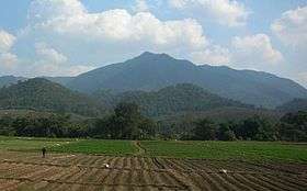 Doi Lan seen from Tap Tao, east of Thoeng | |
| Highest point | |
| Elevation | 1,174 m (3,852 ft) [1] |
| Listing | List of mountains in Thailand |
| Coordinates | 19°42′12″N 100°19′19″E / 19.70333°N 100.32194°ECoordinates: 19°42′12″N 100°19′19″E / 19.70333°N 100.32194°E [2] |
| Geography | |
 Doi Lan | |
| Parent range | Phi Pan Nam Range |
| Climbing | |
| First ascent | unknown |
| Easiest route | drive from Thoeng, then hike |
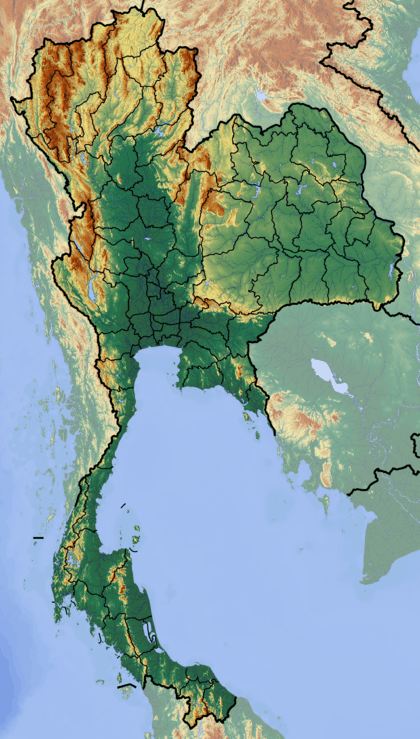
Doi Lan (Thai: ดอยลาน) is a mountain in Thailand, part of the Phi Pan Nam Range, located at the southeastern end of Chiang Rai Province limit near the point where the limit of this province meets with the northern end of Phayao Province and only 9 km from the border with Laos.
This mountain rises in Ngao Subdistrict, Thoeng District. Its summit is located 12 km east of Thoeng, near Ngao east of the road going from this town to Wiang Kaen town.
With a height of 1,174 metres Doi Lan is a conspicuous mountain in the surrounding landscape that can be seen from quite a distance over the plains near Thoeng town.[3]
This mountain should not be confused with other mountains of the same name in the Thai highlands. There is a smaller karstic mountain with the name 'Doi Lan' in Chiang Rai Province that gives its name to the Doi Lan Subdistrict of Mueang Chiang Rai District.
See also
References
- ↑ Google Earth
- ↑ Google Earth
- ↑ Amphoe Thoeng