Dunamuggy
| Dunamuggy | |
| Irish: Dún na mBogach | |
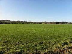 Dunamuggy townland in 2009 |
|
 Dunamuggy |
|
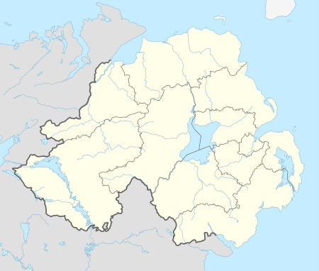
| County | County Antrim |
|---|---|
| Country | Northern Ireland |
| Sovereign state | United Kingdom |
| Police | Northern Ireland |
| Fire | Northern Ireland |
| Ambulance | Northern Ireland |
| EU Parliament | Northern Ireland |
|
|
Coordinates: 54°44′13″N 6°06′29″W / 54.737°N 6.108°W
Dunamuggy (from Irish: Dún na mBogach, meaning "fort of the bogs or marshes")[1]is a townland of 172 acres in County Antrim, Northern Ireland. It is situated in the civil parish of Donegore and the historic barony of Antrim Upper.[2]
Archaeology
The name probably comes from a motte in the east of the townland. The Ordnance Survey Memoir of 1838 records a tumulus 18 ft high, outside of which was a parapet varying in height from 2 to 6 ft. The mound seemed to be constructed of stone and covered with earth.[1] The motte is a Scheduled Historic Monument at grid ref: J2274 9059.[3]
See also
References
- 1 2 "Dunamuggy". Place Names NI. Retrieved 21 April 2015.
- ↑ "Dunamuggy". IreAtlas Townlands Database. Retrieved 21 April 2015.
- ↑ "Dunamuggy" (PDF). Scheduled Historic Monuments (2015). Northern Ireland Environment Agency. Retrieved 21 April 2015.

This article is issued from Wikipedia - version of the 4/21/2015. The text is available under the Creative Commons Attribution/Share Alike but additional terms may apply for the media files.