Tobergill
| Tobergill | |
| Irish: An Tobar Geal | |
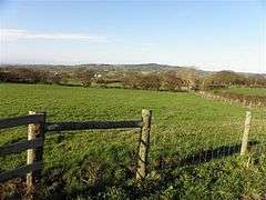 Tobergill townland in 2009 |
|
 Tobergill |
|
| County | County Antrim |
|---|---|
| Country | Northern Ireland |
| Sovereign state | United Kingdom |
| Police | Northern Ireland |
| Fire | Northern Ireland |
| Ambulance | Northern Ireland |
| EU Parliament | Northern Ireland |
|
|
Coordinates: 54°43′59″N 6°08′42″W / 54.733°N 6.145°W
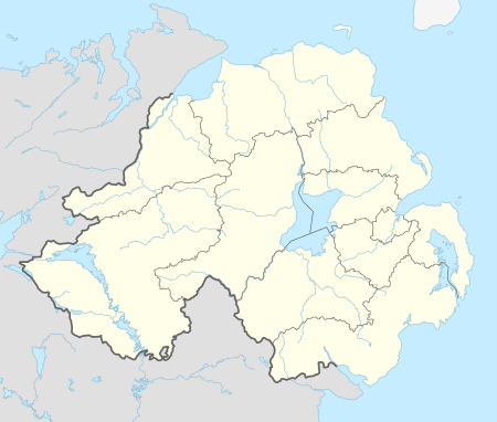
Tobergill (from Irish: An Tobar Geal, meaning "the bright or white well")[1] is a townland of 1,044 acres in County Antrim, Northern Ireland. Lying on the western aspect of Donegore hill, it is situated in the civil parish of Donegore and the historic barony of Antrim Upper.[2]
The name Tobergill is variously recorded as Tubbergeill in 1608, Turbergeile in 1621 and Tubbergill in 1669.[1]
Archaeology
There is a stone circle in Tobergall at grid ref: J208905.[3][4] Only one large stone remains standing, others lie scattered around.[5]
A souterrain with three chambers was investigated by archaeologists in 1959-60 after being uncovered by two farmers ploughing a field. It was later filled in and covered again, for the safety of livestock.[6]
See also
References
| Wikimedia Commons has media related to Tobergill. |
- 1 2 "Tobergill". Place Names NI. Retrieved 21 April 2015.
- ↑ "Tobergill". IreAtlas Townlands Database. Retrieved 21 April 2015.
- ↑ "Tobergill stone circle". The Megalithic Portal. Retrieved 21 April 2015.
- ↑ "Tobergill stone circle". The Modern Antiquarian. Retrieved 21 April 2015.
- ↑ "Tobergill stone circle". Megalithomania. Retrieved 21 April 2015.
- ↑ "Ulster journal of archaeology , Ser. 3, Vol. XXIII, pp. 80-81, 1960: A souterrain at Tobergill, Co. Antrim". Retrieved 6 May 2016.
