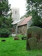
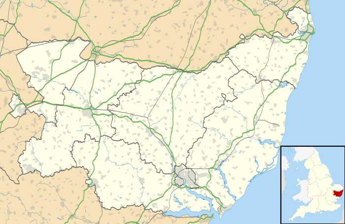
Earl Soham
| Earl Soham | |
 Earl Soham, Church of St Mary |
|
 Earl Soham |
|
| Population | 455 (2011)[1] |
|---|---|
| OS grid reference | TM2363 |
| Shire county | Suffolk |
| Region | East |
| Country | England |
| Sovereign state | United Kingdom |
| Post town | Woodbridge |
| Postcode district | IP13 7 |
| Police | Suffolk |
| Fire | Suffolk |
| Ambulance | East of England |
| EU Parliament | East of England |
Coordinates: 52°13′N 1°16′E / 52.22°N 01.26°E
Earl Soham is a small settlement in Suffolk, England. It is on the A1120 road and is 4 kilometres (2 mi) west of the town of Framlingham.
Earl Soham once belonged to the Earls of Norfolk, the Bigod family (sometimes spelt "Bigot" in old texts), who also owned nearby Framlingham Castle. Edward I granted Roger Bigod permission to hold a market and a lamb and stock fair in the village. The parish was in the hundred of Loes well before 1086.[2] The church dates from about 1320 (chancel) with the nave dated to about 1470 (Kelly's Suffolk Directory 1900) and a perpendicular west tower c. 1475.[3] The Baptist Chapel was built around 1863. The school was first built in 1850. Earl Soham Lodge was originally a hunting lodge, built in the 13th century but rebuilt in 1789. For many years it was the seat of the Cornwallis family. The population of the village peaked in the 19th century with over 750 inhabitants.
Governance
An electoral ward in the same name exists. This ward stretches south to Charsfield with a total population taken at the 2011 Census of 2,144.[4]
References
- ↑ "Parish population 2011". Retrieved 14 September 2015.
- ↑ Open Domesday Online: Earl Soham
- ↑ N.Pevsner, Suffolk, Buildings of England, 1974
- ↑ "Ward population 2011". Retrieved 14 September 2015.
External links
![]() Media related to Earl Soham at Wikimedia Commons
Media related to Earl Soham at Wikimedia Commons