Edenburg, Gauteng
For the town in the Free State, see Edenburg.
| Edenburg | |
|---|---|
 Edenburg  Edenburg  Edenburg
| |
|
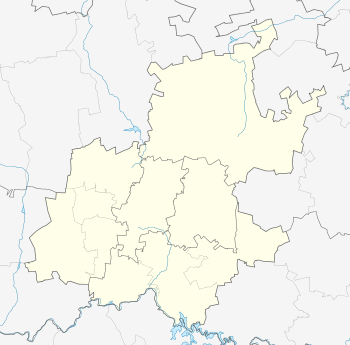
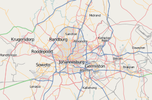
Location within Greater Johannesburg  Edenburg | |
| Coordinates: 26°03′22″S 28°03′36″E / 26.056°S 28.060°ECoordinates: 26°03′22″S 28°03′36″E / 26.056°S 28.060°E | |
| Country | South Africa |
| Province | Gauteng |
| Municipality | City of Johannesburg |
| Main Place | Sandton |
| Area[1] | |
| • Total | 2.92 km2 (1.13 sq mi) |
| Population (2011)[1] | |
| • Total | 4,289 |
| • Density | 1,500/km2 (3,800/sq mi) |
| Racial makeup (2011)[1] | |
| • Black African | 32.5% |
| • Coloured | 3.4% |
| • Indian/Asian | 11.0% |
| • White | 50.5% |
| • Other | 2.5% |
| First languages (2011)[1] | |
| • English | 68.8% |
| • Afrikaans | 6.6% |
| • Zulu | 4.5% |
| • Northern Sotho | 2.7% |
| • Other | 17.4% |
| Postal code (street) | 9908 |
| PO box | 9908 |
| Area code | 051 |
Edenburg is a suburb of Johannesburg, South Africa. It is located in Region 3. The name is a source of confusion, as the whole area is known not as Edenburg but as Rivonia. The road from Johannesburg to the south is named Rivonia Road. Edenburg has one large extension, and there are up to 25 small Extensions named 'Rivonia Extension ...' lying to the north. The name change took place many years ago, but was never made official in the Land Register.
Edenburg took its name from the farm by that name owned by Koos Roux.[2]
References
- 1 2 3 4 "Sub Place Edenburg". Census 2011.
- ↑ Louw, Juliet Marais (1975). Wagon-tracks and orchards, Early days in Sandton. Johannesburg: AD DONKER. p. 23.
External links
This article is issued from Wikipedia - version of the 9/2/2013. The text is available under the Creative Commons Attribution/Share Alike but additional terms may apply for the media files.