Fagurhólsmýri
| Fagurhólsmýri | |
|---|---|
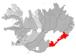 Location of the Municipality of Sveitarfélagið Hornafjörður | |
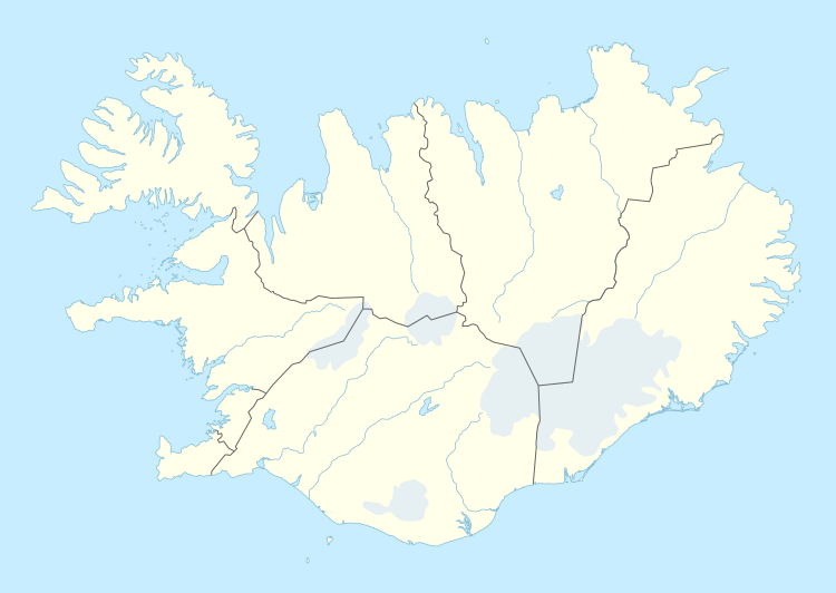 Fagurhólsmýri Location of Fagurhólsmýri in Iceland | |
| Coordinates: 63°52′N 16°38′W / 63.867°N 16.633°W | |
| Country |
|
| Constituency[1] | South Constituency |
| Region[2] | Eastern Region |
| Municipality | Sveitarfélagið Hornafjörður |
| Time zone | GMT (UTC+0) |
Fagurhólsmýri (63°53′00″N 16°39′00″W / 63.883333°N 16.65°W) is a small village in southern Iceland, located roughly ten kilometres south of the Oraefajokull volcano.
References
Coordinates: 64°07′59″N 20°19′59″W / 64.133°N 20.333°W
This article is issued from Wikipedia - version of the 5/17/2015. The text is available under the Creative Commons Attribution/Share Alike but additional terms may apply for the media files.