Firgas
| Firgas | |
|---|---|
| Municipality | |
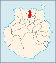
 Municipal location in Gran Canaria | |
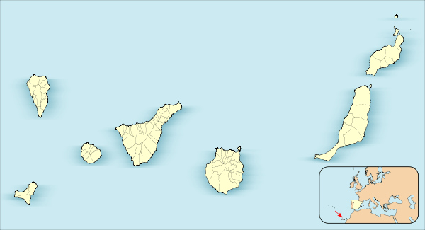
 Firgas Location in the Canary Islands | |
| Coordinates: 28°6′20″N 15°33′50″W / 28.10556°N 15.56389°WCoordinates: 28°6′20″N 15°33′50″W / 28.10556°N 15.56389°W | |
| Country | Spain |
| Autonomous Region | Canary Islands |
| Province | Las Palmas |
| Island | Gran Canaria |
| Area[1] | |
| • Total | 15.77 km2 (6.09 sq mi) |
| Elevation | 500 m (1,600 ft) |
| Population (2013)[2] | |
| • Total | 7,628 |
| • Density | 480/km2 (1,300/sq mi) |
| Time zone | GMT (UTC+0) |
Firgas is a town and a municipality in the northern part of the island of Gran Canaria in the Province of Las Palmas in the Canary Islands. Its population is 7,628 (2013),[2] and the area is 15.77 km².[1] The town was founded in 1488. The town Firgas is situated in the mountains, 13 km west of Las Palmas. The town, which is in a green and rural zone, is also known as the balcony of the Atlantic, for its good view of the northern coast of the island. Bottled water is produced in the town.
Historical population
| Year | Population |
|---|---|
| 1991 | 5,735 |
| 1996 | 6,526 |
| 2001 | 6,865 |
| 2002 | 6,927 |
| 2003 | 7,023 |
| 2004 | 7,060 |
| 2013 | 7,628 |
The town
The central square, which has a church and town hall, is called San Roque. Important attractions are the different squares, and the Paseo the Gran Canaria, where a 30 meter high waterfall has been laid out, as well as relief models of the different islands.
See also
References
- 1 2 Instituto Canario de Estadística, area
- 1 2 Instituto Canario de Estadística, population
External links
 |
Arucas |  | ||
| Moya | |
|||
| ||||
| | ||||
| Valleseco | Teror |