Flagler Estates, Florida
Flagler Estates is an unincorporated community in Flagler and St. Johns counties in the U.S. state of Florida. It is located 8 mi (13 km) southeast of Hastings, Florida. The Flagler County portion of Flagler Estates is part of the Deltona–Daytona Beach–Ormond Beach, FL metropolitan statistical area, while the St. Johns County portion is part of the Jacksonville Metropolitan Statistical Area. As of May 2006, there were an estimated 1,500 families residing in Flagler Estates.
Location
Flagler Estates is located at 29°38′15″N 81°27′27″W / 29.63750°N 81.45750°WCoordinates: 29°38′15″N 81°27′27″W / 29.63750°N 81.45750°W.
The Flagler Estates Road and Water Control District FERWCD encompasses about 7,416 acres (30 km2) in the unincorporated areas of St. Johns County. The main entrance is off State Road 13 onto Flagler Estates Boulevard, shown in the adjacent picture.
There are 6,181 acres (25 km2) of residential lots in Flagler Estates. Most lots are 1.13 acres (4,600 m2) in area (excludes road easement).
Although it covers a wide area, the nearest services are in Palatka, across the St. Johns River. The only services are Buzz Mart and Dollar General, at the corner of Flagler Estates Boulevard and CR 13. The main river that runs through the central area is Deep Creek. More details below. 2.4 miles (3.9 km) east of the area is Old Brick Road, a U.S. National Register of Historic Place. It is located 12 miles (19 km) east of Palatka. The area is known for its large lot sizes.
Government jurisdiction
Prior to January 2004, the FERWCD district was located Flagler and St. Johns counties. The Flagler County portion of the District was removed from the District Boundaries effective January 1, 2004. This de-annexation was codified in Chapter 2006-358, Laws of Florida. In the 2006 codification bill, lands owned by FERWCD north of the Ashley Outfall were added into the District.
Land use
The current land-uses within the District boundaries are generally 1.25-acre (5,100 m2) residential. On the east side of the watershed, outside the District boundaries, the primary land-use is silviculture. On the west side of the watershed, outside the District boundaries, the primary land-use is agricultural. In the Flagler County portion of the watershed, the land-use is mixed between silviculture, agriculture, and wetland. In this area, about 60% of the land area could be classified as wetland.
See also
External links
- Forums, listings, news, etc.
- Community News Site
- Official Flagler Estates Road and Water Control District Site
Municipalities and communities of St. Johns County, Florida, United States | ||
|---|---|---|
| Cities | 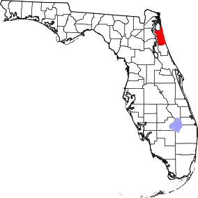 | |
| Towns | ||
| CDPs | ||
| Unincorporated communities | ||
| Footnotes | ‡This populated place also has portions in an adjacent county or counties | |
Municipalities and communities of Flagler County, Florida, United States | ||
|---|---|---|
| Cities | 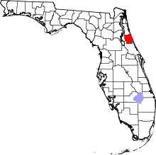 | |
| Towns | ||
| Unincorporated communities | ||
| Footnotes | ‡This populated place also has portions in an adjacent county or counties | |