Flying Cloud Airport
| Flying Cloud Airport | |||||||||||||||||||
|---|---|---|---|---|---|---|---|---|---|---|---|---|---|---|---|---|---|---|---|
 FAA Airport Diagram | |||||||||||||||||||
| IATA: FCM – ICAO: KFCM – FAA LID: FCM | |||||||||||||||||||
| Summary | |||||||||||||||||||
| Airport type | Public | ||||||||||||||||||
| Operator | Metropolitan Airports Commission | ||||||||||||||||||
| Location | Eden Prairie, Minnesota | ||||||||||||||||||
| Elevation AMSL | 906 ft / 276.1 m | ||||||||||||||||||
| Coordinates | 44°49′38″N 93°27′26″W / 44.82722°N 93.45722°WCoordinates: 44°49′38″N 93°27′26″W / 44.82722°N 93.45722°W | ||||||||||||||||||
| Map | |||||||||||||||||||
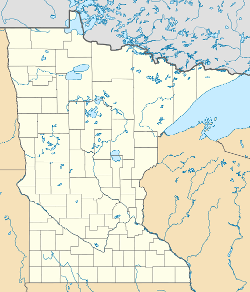
 FCM  FCM Location of airport in Minnesota/United States | |||||||||||||||||||
| Runways | |||||||||||||||||||
| |||||||||||||||||||
| Statistics | |||||||||||||||||||
| |||||||||||||||||||
Flying Cloud Airport (IATA: FCM, ICAO: KFCM, FAA LID: FCM) is a public airport located in the city of Eden Prairie in Hennepin County, Minnesota, about 11 miles (18 km) southwest of the central business district (CBD) of Minneapolis.
The airport was created in 1941 when the United States Navy was training pilots for World War II. The Navy made arrangements with a local farmer, Martin "Pappy" Grill, to use a grass landing strip. Pilots flying from Wold-Chamberlain Airport, now Minneapolis-St. Paul International Airport, would use this field for practicing approaches. After the war, Grill sold the field and some adjoining land to American Aviation, Inc. John Stuber gave the field its name "Flying Cloud Airport" to reflect local Indian lore and flying. The Metropolitan Airports Commission bought the airport in 1948 and paved the runway. The MAC built a control tower in 1963. By 1966, it was ranked the second-busiest airport in the central United States behind Chicago-O'Hare International Airport. In 1968, with 446,198 takeoffs and landings, it was the ninth-busiest airport in the United States.[2] Today it is designated by the FAA as a reliever airport and aircraft are restricted to 60,000 pounds (27 t) or less, except in an emergency situation or when operated by the U.S. Government.[3]
Because of the airport's proximity to the Valleyfair amusement park, the park's rides are restricted in height by FAA regulations.[4]
Facilities and aircraft
Flying Cloud Airport covers an area of 543 acres (220 ha) at an elevation of 906 feet (276 m) above mean sea level. It has three asphalt paved runways.
In November 2016, there were 299 aircraft based at this airport: 237 single-engine, 39 multi-engine, 15 jet and 8 helicopter.
References
- ↑ "AirportIQ 5010". gcr1.com. Retrieved 6 November 2016.
- ↑ "History of the Airport". City of Eden Prairie. Retrieved 2008-04-22.
- ↑ "Ordinance Number 97" (PDF). Metropolitan Airports Commission. Retrieved 2010-07-29.
- ↑ "Power Tower". valleyfair.com. Retrieved 29 January 2016.
External links
- "Minnesota Airport Directory: Flying Cloud Airport" (PDF). (364 KiB)
- FAA Airport Diagram (PDF), effective November 10, 2016
- Resources for this airport:
- FAA airport information for FCM
- AirNav airport information for KFCM
- ASN accident history for FCM
- FlightAware airport information and live flight tracker
- NOAA/NWS latest weather observations
- SkyVector aeronautical chart, Terminal Procedures