Gairo, Tanzania
| Gairo | |
|---|---|
| Town and ward | |
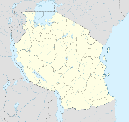 Gairo Location in Tanzania | |
| Coordinates: 06°08′34″S 36°52′10″E / 6.14278°S 36.86944°ECoordinates: 06°08′34″S 36°52′10″E / 6.14278°S 36.86944°E | |
| Country |
|
| Region | Morogoro Region |
| District | Gairo District |
| Population (2002) | |
| • Town and ward | 35,638 |
| • Urban | 16,982 |
| Time zone | EAT (UTC+3) |
| Postcode | 67701 |
| Climate | Cwa |
Gairo is a large town and an administrative ward in Gairo District in the Morogoro Region of Tanzania, East Africa.[1] The town is the administrative centre for Gairo District. It is located on the main Dodoma to Dar es Salaam road and is a transshipment point, as well as a shipping point for the agricultural products of the district. As of 2002, the town's population was 16,982,[2]
As of 2002, the population of the ward was 35,638.[3] Ethnically, the people are mostly Kaguru.
Notes
- ↑ "Postcodes Morogoro Region 67000" (PDF). Tanzania Communications Regulatory Authority (TCRA). 2012.
- ↑ "Tanzania: Morogoro: Gairo". World Gazetteer.
- ↑ "2002 Population and Housing General Report: Morogoro: Kilosa". Archived from the original on 20 March 2004.
Template:Gairo District
This article is issued from Wikipedia - version of the 9/14/2016. The text is available under the Creative Commons Attribution/Share Alike but additional terms may apply for the media files.