Gargunnock
| Gargunnock | |
 The Main Street in Gargunnock |
|
 Gargunnock |
|
| Population | 944 |
|---|---|
| OS grid reference | NS705945 |
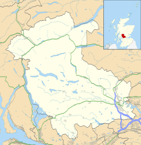
| Civil parish | Gargunnock |
| Council area | Stirling |
| Country | Scotland |
| Sovereign state | United Kingdom |
| Post town | Stirling |
| Postcode district | FK8 |
| Dialling code | 01786 |
| Police | Scottish |
| Fire | Scottish |
| Ambulance | Scottish |
| EU Parliament | Scotland |
| UK Parliament | Stirling |
| Scottish Parliament | Stirling |
| Website | gargunnock.com |
Coordinates: 56°07′34″N 4°05′06″W / 56.126°N 4.085°W
Gargunnock is a small village in the Stirling council area approximately seven miles west of Stirling,[1] in Scotland. The 2001 census population was 944. It is situated on the south edge of the Carse of Stirling, at the foot of the Gargunnock Hills, part of the Campsie Fells.
Several small burns flow down from the Gargunnock Hills
The last naturally suitable crossing point on the Forth before reaching Stirling Bridge is situated just outside Gargunnock. This, coupled with the land condition and drainage around the feet or the Gargunnock hills, made Gargunnock the ideal location to build a farming settlement.
During the occupation of Scotland, the English posted a garrison in the Peel tower on the outskirts of the village to protect this important ferry. It is believed that William Wallace brought his army through Gargunnock (called Gargowans at the time), setting up fort on the Kier Hill, to take control of this part of the river in advance of the Battle of Stirling Bridge. Bonnie Prince Charlie is also said to have passed through the village on his travels.
More recently, during the nineteenth century Gargunnock was famous for its fine oak-spale baskets, until intensive deforestation removed the raw materials necessary for this trade and the industry moved to Loch Lomond.
Nowadays, the village has a very lively community with a busy school, Gargunnock Primary. The majority of pupils from Gargunnock Primary continue their secondary education at the nearby Stirling High School, with others attending Balfron High School.
References
External links
| Wikimedia Commons has media related to Gargunnock. |