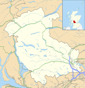
Fallin, Stirling
| Fallin | |
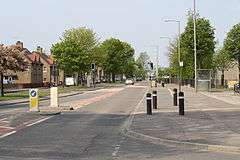 Stirling Road (A905) the main route through Fallin, the former mining village. A westwards view towards Stirling. |
|
 Fallin |
|
| OS grid reference | NS833916 |
|---|---|
| Civil parish | St. Ninians |
| Council area | Stirling |
| Lieutenancy area | Stirling and Falkirk |
| Country | Scotland |
| Sovereign state | United Kingdom |
| Post town | Stirling |
| Postcode district | FK7 |
| Dialling code | 01786 |
| Police | Scottish |
| Fire | Scottish |
| Ambulance | Scottish |
| EU Parliament | Scotland |
| UK Parliament | Stirling |
| Scottish Parliament | Stirling |
Coordinates: 56°06′13″N 3°52′34″W / 56.1037°N 3.8762°W
Fallin (/fəlˈɪn/) is a village in the Stirling council area of Scotland. It lies on the A905 road 3 miles east of Stirling on a bend in the River Forth. The United Kingdom Census 2001 recorded the population as 2710.[1]
It was formerly a pit village, the site of the Polmaise Colliery 3&4 (Polmaise Colliery 1&2 was situated at Milhall), originally opened in 1904 by Archibald Russell Ltd. At its peak, in 1957, it employed 778 people.[2] During the UK miners' strike 1984-85 it was reputed to be the only colliery in Britain where support was so strong that there was no need for pickets during the whole of the strike. British Coal decided to close the Colliery on 17 July 1987, marking the end of coal mining in Stirlingshire.
Fallin has been the site of several new housing developments and is now a commuter village.
Notes
- ↑ "Comparative Population Profile: Fallin Locality". SCROL. Retrieved 2009-12-07.
- ↑ "Fallin, Polmaise Colliery". ScotlandsPlaces. Retrieved 2010-06-07.
External links
| Wikimedia Commons has media related to Fallin, Stirling. |