Gisborough Moor
| Gisborough Moor | |
|---|---|
 The 'broad flat moor'. The summit is the slight rise on the left. | |
| Highest point | |
| Elevation | 328 m (1,076 ft) |
| Prominence | 152 m (499 ft) |
| Listing | Marilyn, County Top |
| Geography | |
| Location | North York Moors, England |
| OS grid | NZ634123 |
| Topo map | OS Landranger 94 |
Gisborough Moor is a moor in England's North York Moors, lying to the south of the town of Guisborough. The summit is a broad flat ridge, with the highest point at the southern end, some 2 km south of a trig point. It is crossed by a number of footpaths leading between the Cleveland Way and Commondale and other settlements to the south. Highcliff Nab, near the moor's north-western corner, overlooks Guisborough from the edge of the scarp.
Coordinates: 54°30′07″N 1°01′21″W / 54.50207°N 1.02250°W
Marilyns of Northern England | ||
|---|---|---|
| 1. Northumberland | 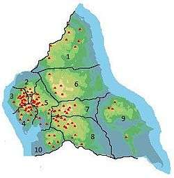 | |
| 2. Northern Lakeland | ||
| 3. Western Lakeland | ||
| 4. Central and Southern Lakeland | ||
| 5. Eastern Lakeland | ||
| 6. North Pennines and Durham | ||
| 7. Northern Yorkshire Dales | ||
| 8. Southern Yorkshire Dales | ||
| 9. North York Moors to the Humber | ||
| 10. Forest of Bowland | ||
This article is issued from Wikipedia - version of the 4/28/2016. The text is available under the Creative Commons Attribution/Share Alike but additional terms may apply for the media files.